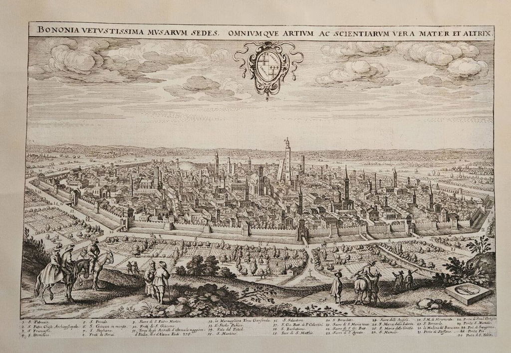

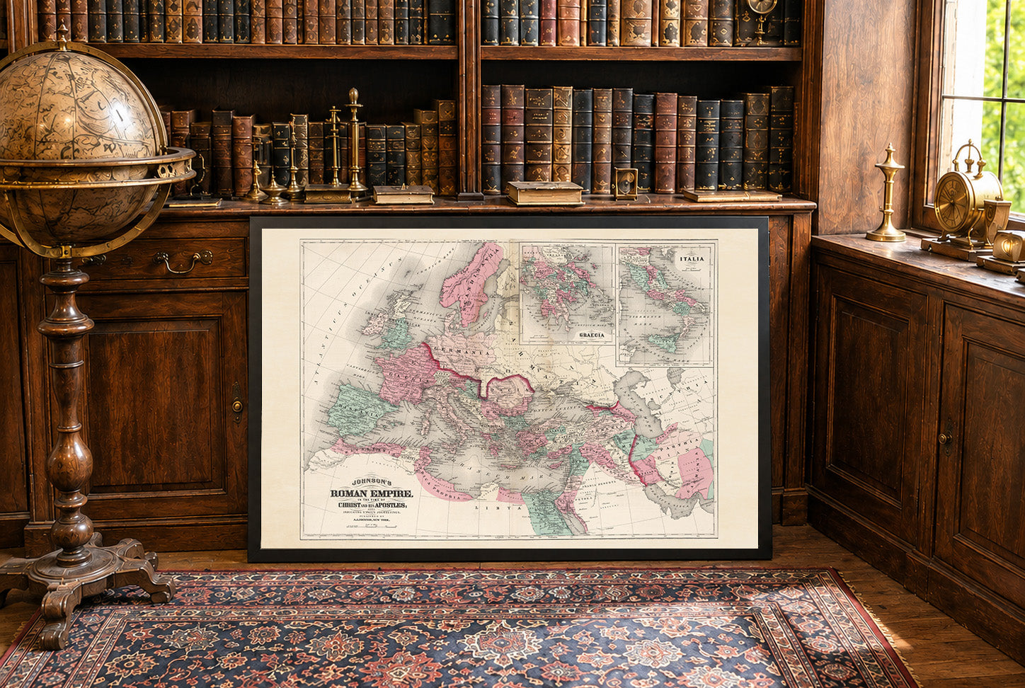
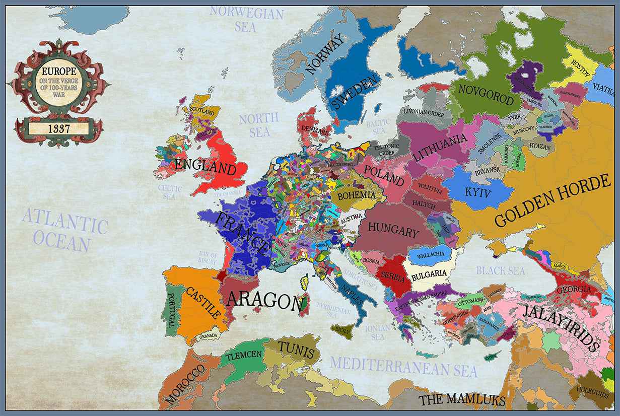
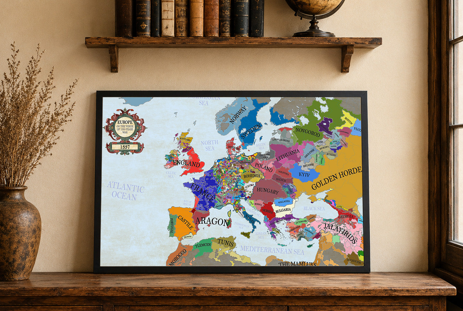


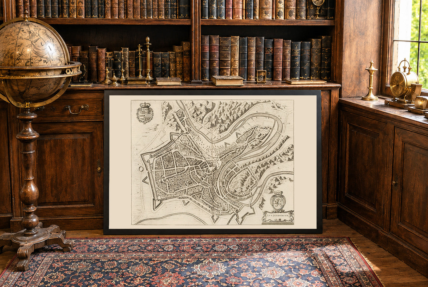
Dieses Bild ist eine historische Karte mit dem Titel "Lutzenburgum", erstellt von Joan Blaeu und Willem Janszoon Blaeu im Jahr 1652. Sie ist im zweiten Band von Blaeus Stadtatlas "Toonneel der Steeden van s'Konings Nederlanden, met hare Beschryvingen" (Theater der Städte der Königlichen Niederlande, mit ihren Beschreibungen) enthalten. Die Karte ist eine detaillierte, Vogelperspektive-Ansicht des Stadt Luxemburg. Sie zeigt komplexe Darstellungen des städtischen Layouts, einschließlich Straßen, Gebäude und Befestigungen. Der Stil ist charakteristisch für die niederländische kartografische Tradition des 17. Jahrhunderts und kombiniert Genauigkeit mit künstlerischer Ausschmückung. Dekorative Elemente wie Wappen und Kartuschen erhöhen ihre visuelle Anziehungskraft.




Incredibly high quality print. Did not get the frame so I can’t speak to that. Got the larger of the two sizes and am in love with it. Printed on a material that feels like a soft canvas.
For the cost and the quality alone, I would highly recommend anyone on the fence to buy one. You will not be disappointed.
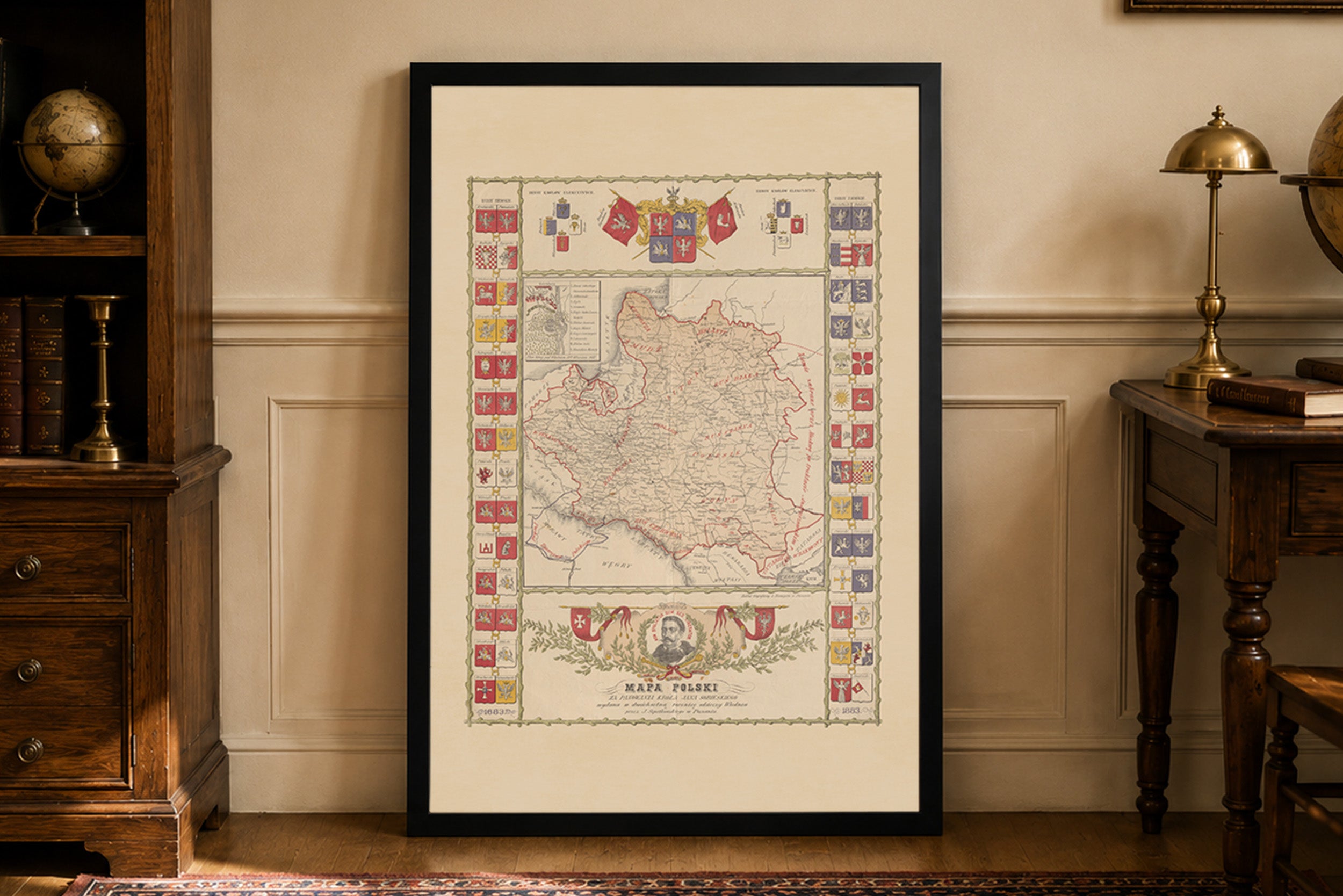
Jestem w pełni zadowolony z zakupu tej mapy. Na ścianie prezentuje się dumnie i pięknie. Do jakości samego wyrobu nie mam żadnych zastrzeżeń. Co do transportu, przebiegł szybko i sprawnie, bez żadnych zarzutów. W przyszłości będę na pewno planował jeszcze coś dodać do swojej kolekcji z tego sklepu. Serdecznie polecam!
This map is amazing and very very high quality. Referred a friend to the service and will be sure to order more.
Thank you for adding my family heritage to your site!
I ordered this to hang up next to some photos from a trip to Portugal and I'm very happy with it. Its a great looking map and the quality of the print does it justice. The service was very prompt, my order printed and shipped in under 48 hours and arrived in under a week.
Excellent print, the fabric also is really nice and robust. Absolutely recommended