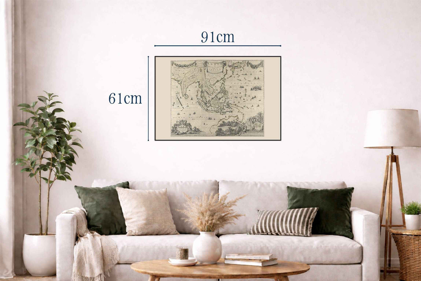


This is a historical map titled "India quæ Orientalis dicitur, Et Insvlæ Adiacentes," created by Hugo Allardt in 1652. The map is a large-scale representation of Southeast Asia, including parts of India, Indonesia, and Australia. The map is a detailed copperplate engraving, showcasing the intricacies of cartographic art during the 17th century. The hand-coloring adds a decorative and informative layer, highlighting territorial boundaries and significant geographical features. This method was typical of the period, adding both aesthetic appeal and clarity to the complex geographical information.
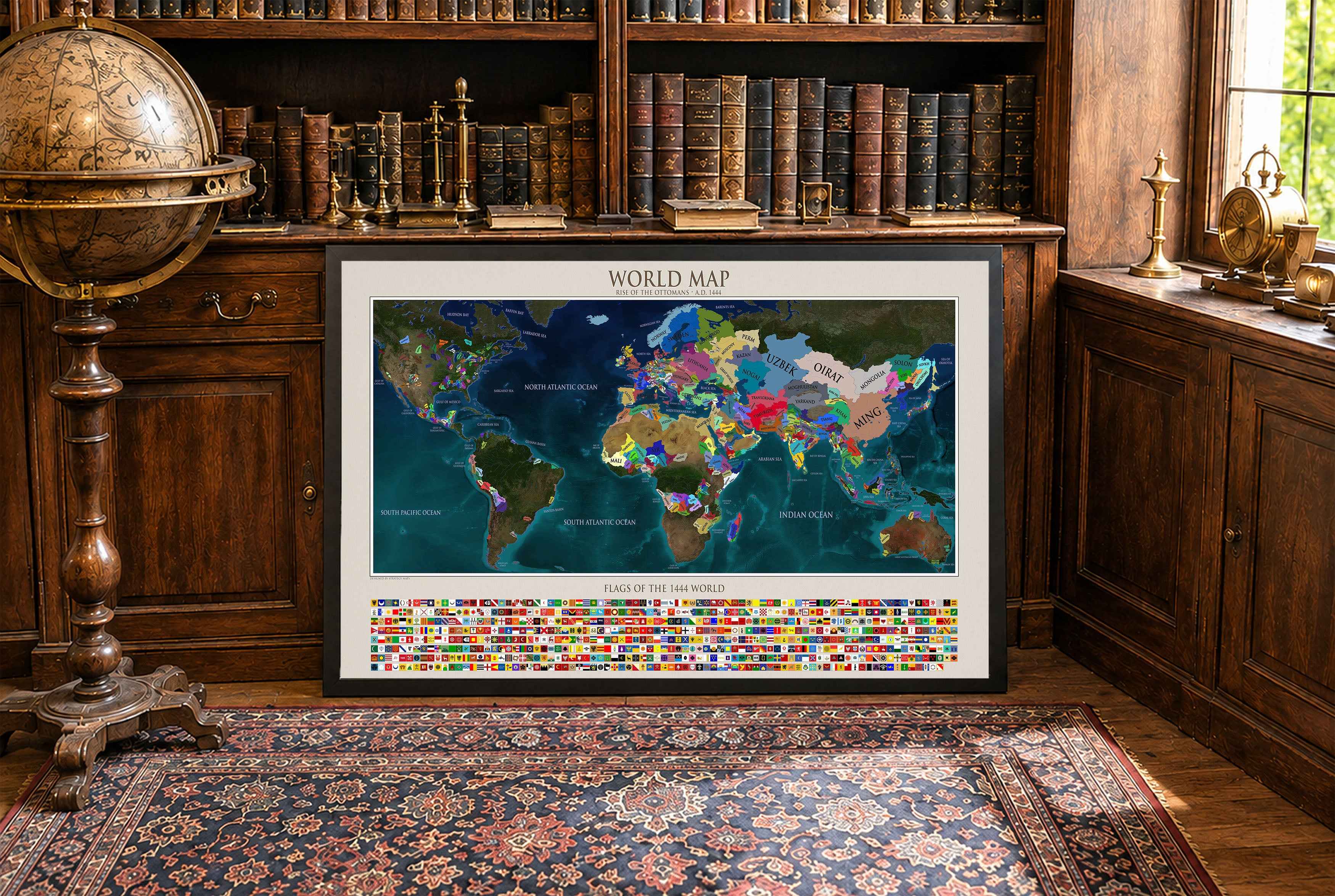
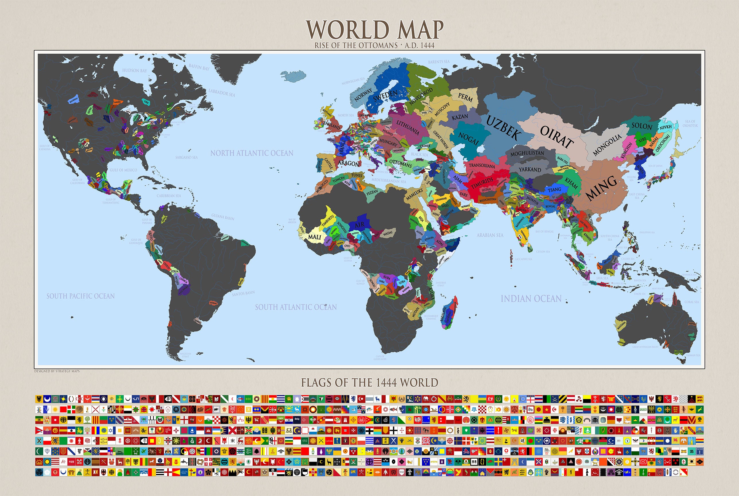
This is a reproduction print of a historical map