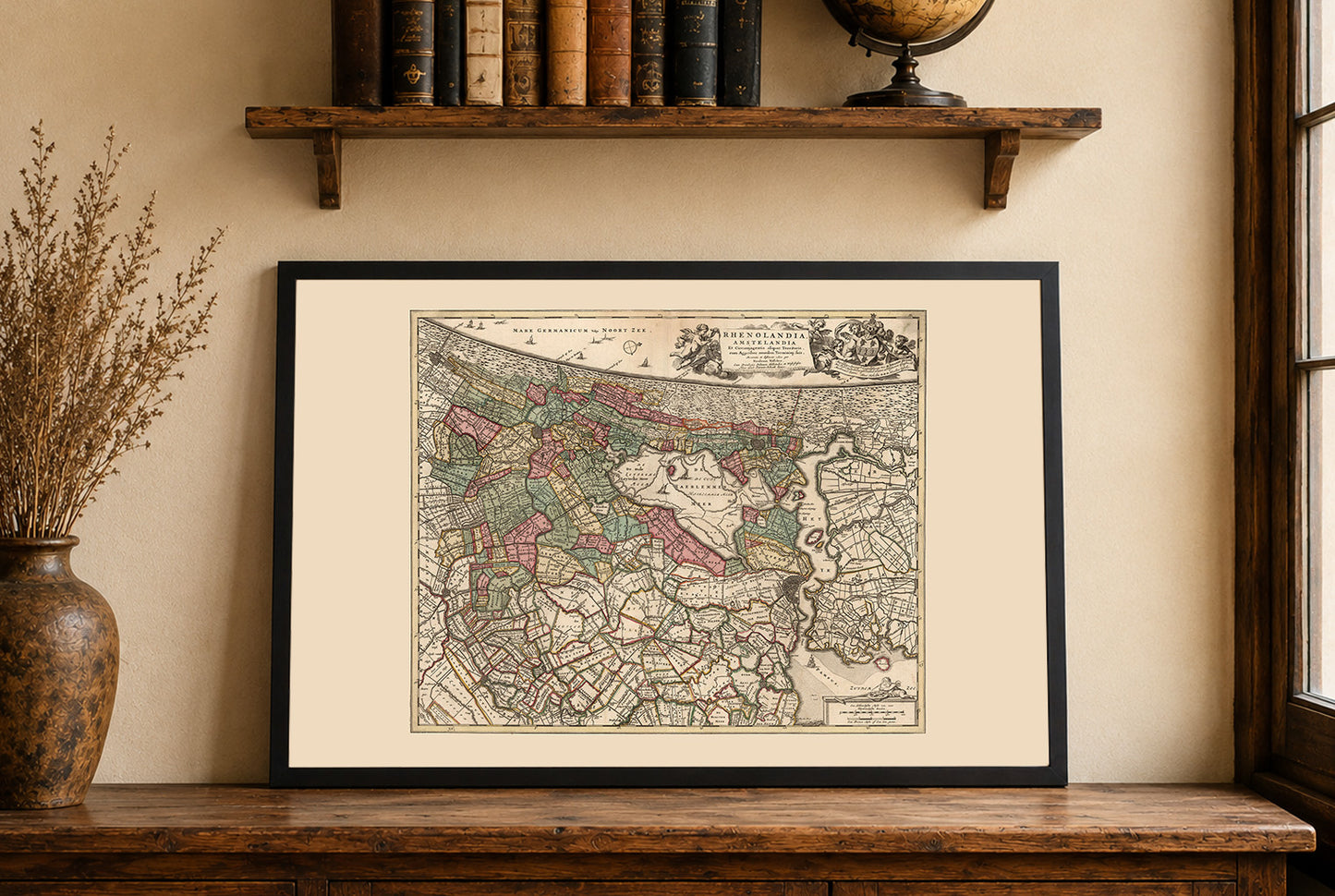


In 1740, Amsterdam was the leading commercial and financial center of the Dutch Republic, which was governed by a coalition of provincial estates and urban regent elites. The city functioned as one of Europe’s most important hubs of global trade and finance, closely tied to the activities of the Dutch East India Company and the wider Dutch maritime trading network.
Engraved hand colored in outline map of the region surrounding Amsterdam, with decorative title cartouche. Shows city center, roads, mountains, canals and rivers.
This is a reproduction print of a historical map