




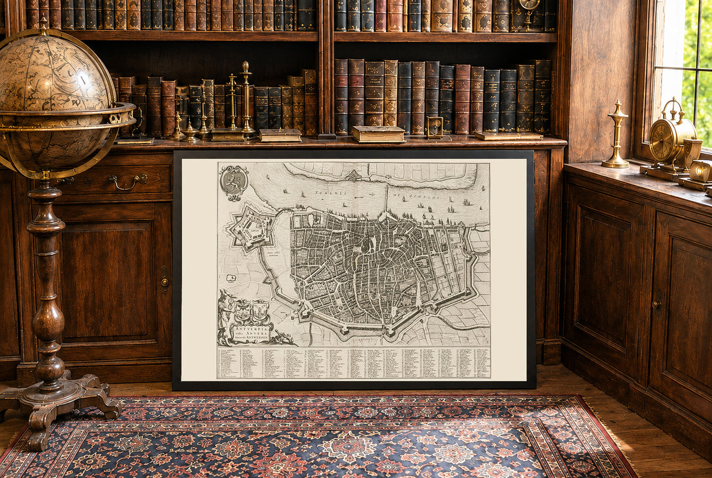
Dieses Werk ist eine detaillierte Stadtkarte mit dem Titel "Antuerpia; Gallis Anvers:. Vernacule Antwerpen," erstellt von Joan Blaeu und Willem Janszoon Blaeu im Jahr 1652. Die Karte ist eine Darstellung von Antwerpen, Belgien, und ist in Band zwei von Blaeus Stadtbüchern der Niederlande enthalten. Die Karte ist eine fein detaillierte gravierte Darstellung von Antwerpen, die den Stadtplan im mittleren 17. Jahrhundert zeigt. Sie kombiniert sowohl künstlerische als auch kartografische Elemente, die für Blaeus Arbeit charakteristisch sind. Die Karte wird in Schwarz-Weiß präsentiert, mit komplizierten Details von Straßen, Gebäuden und Befestigungen.




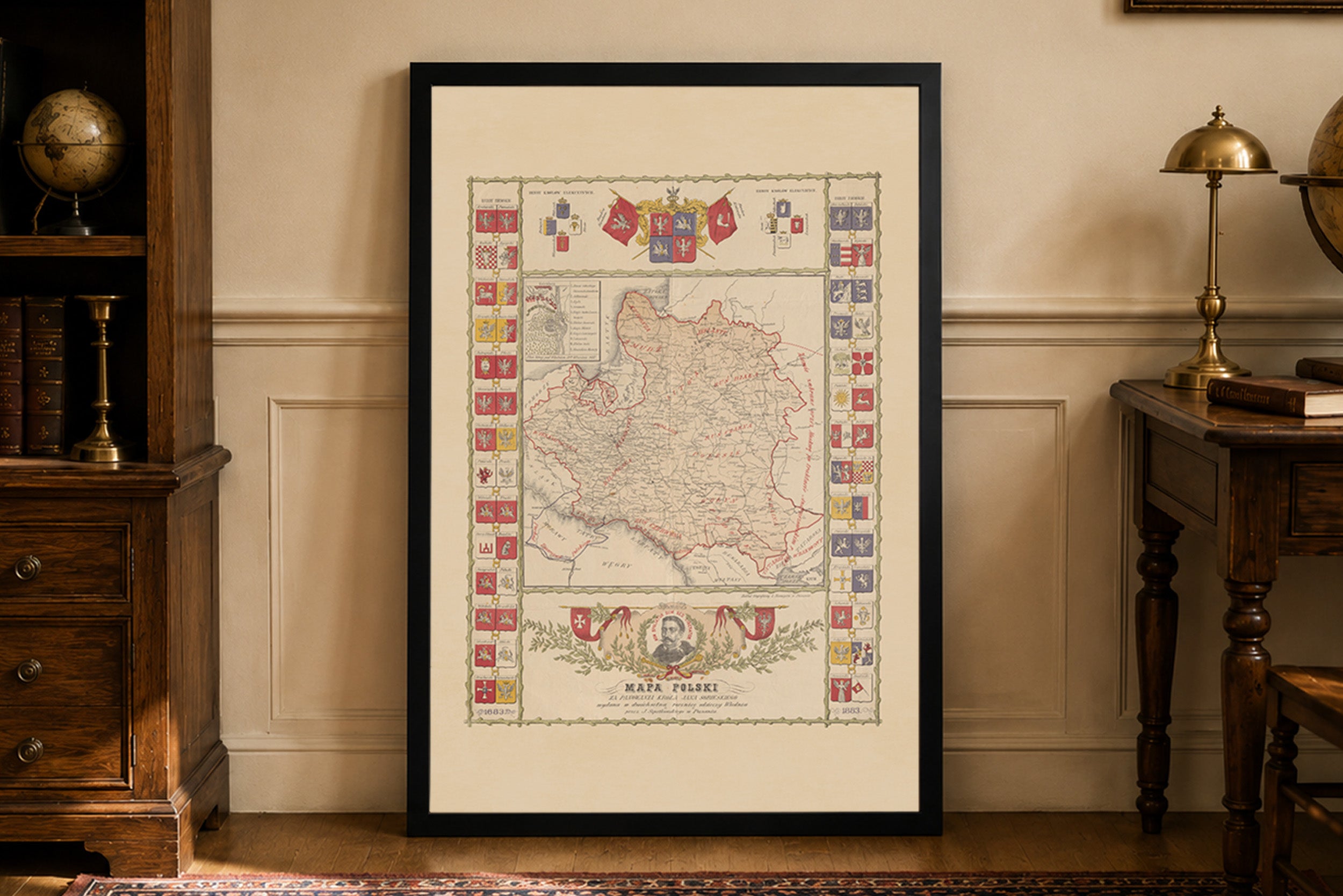
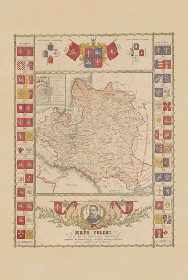
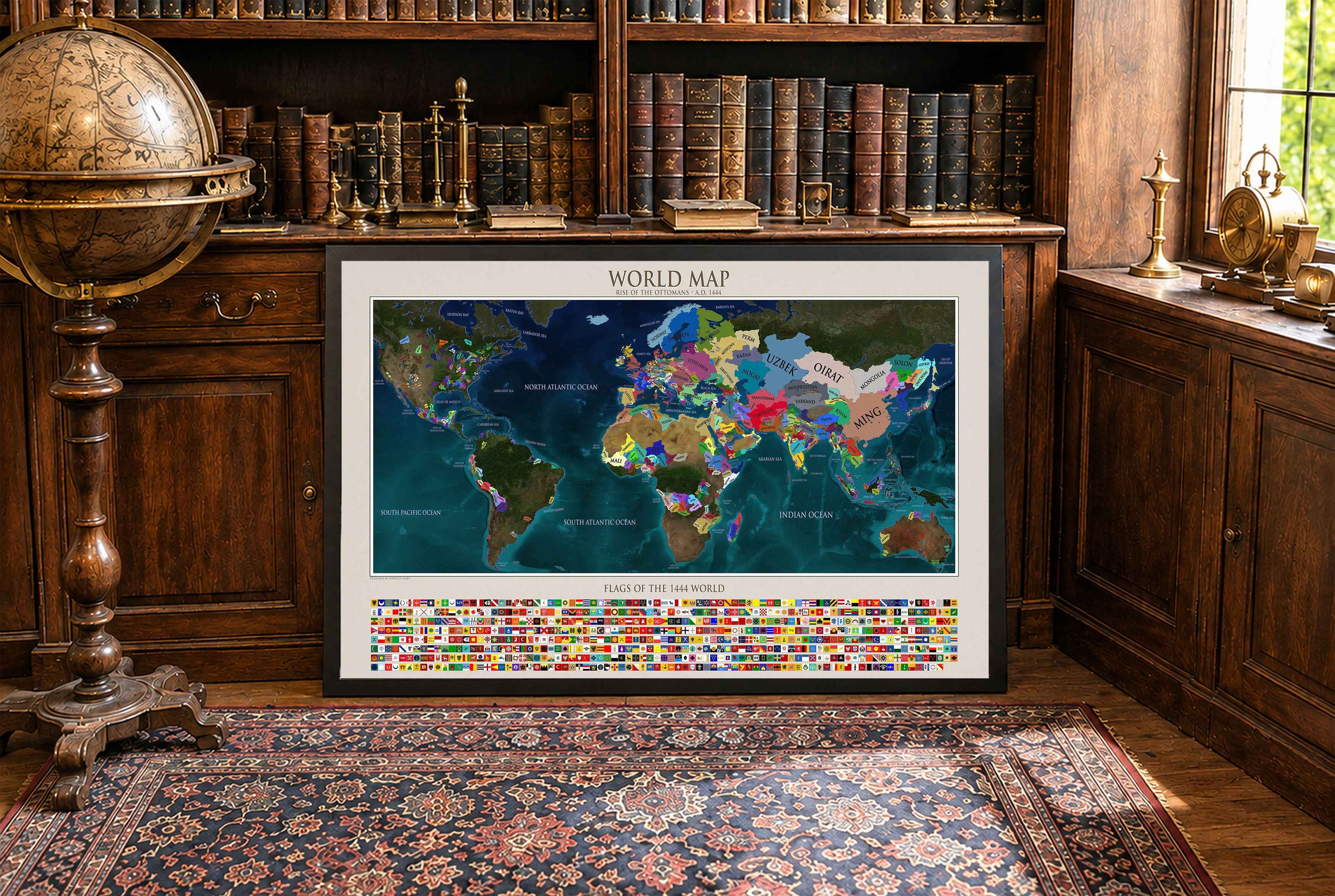

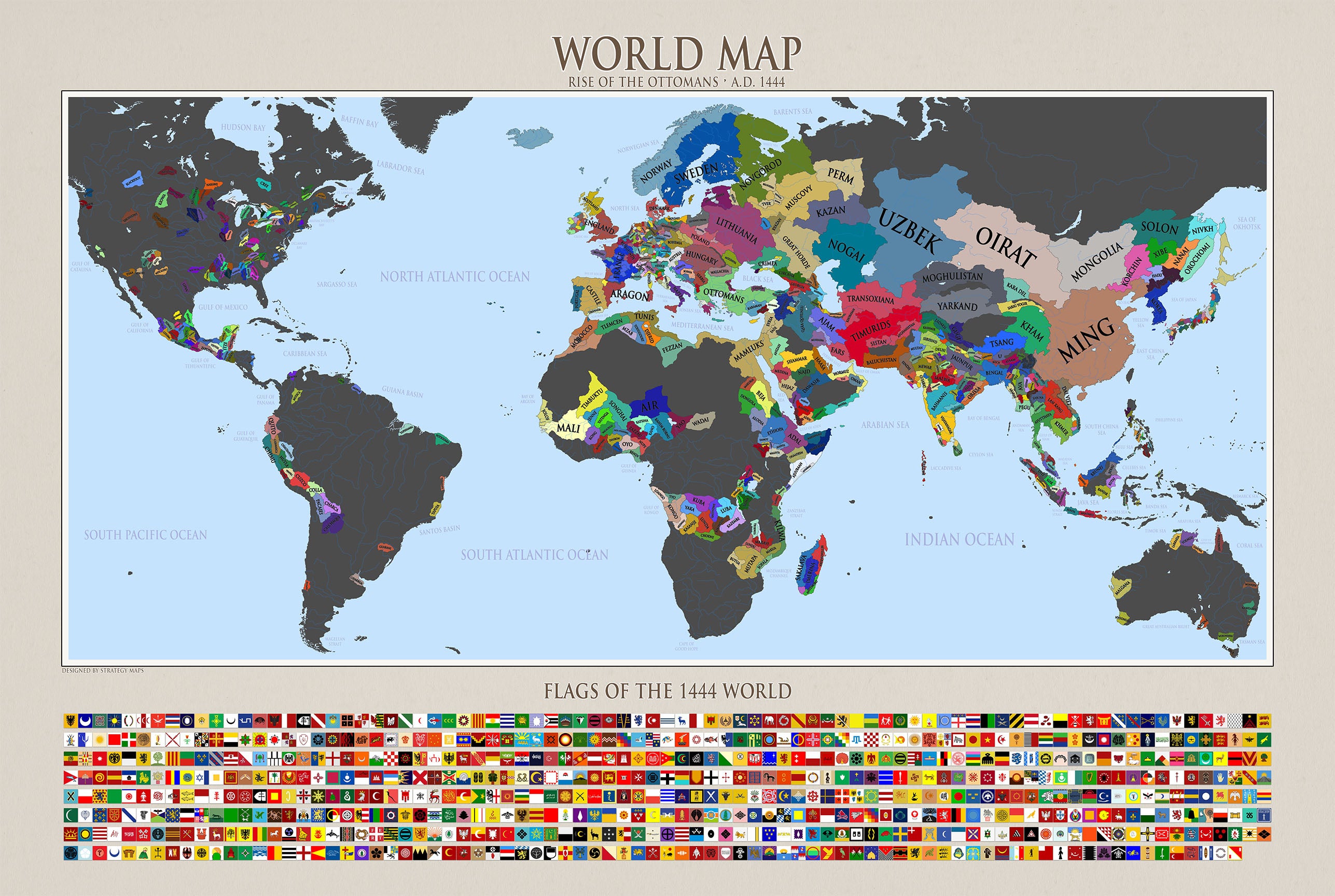
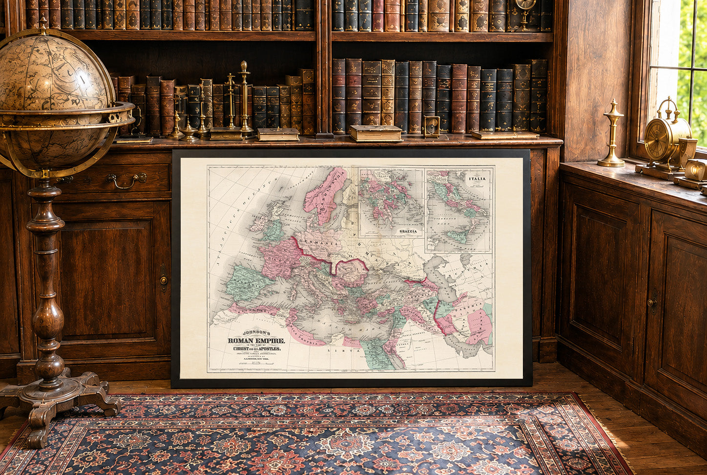
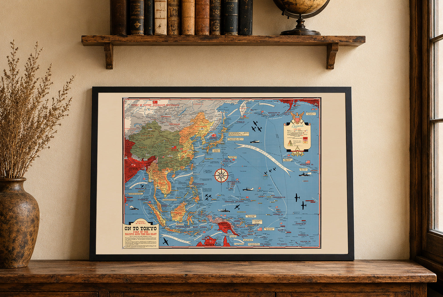
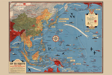
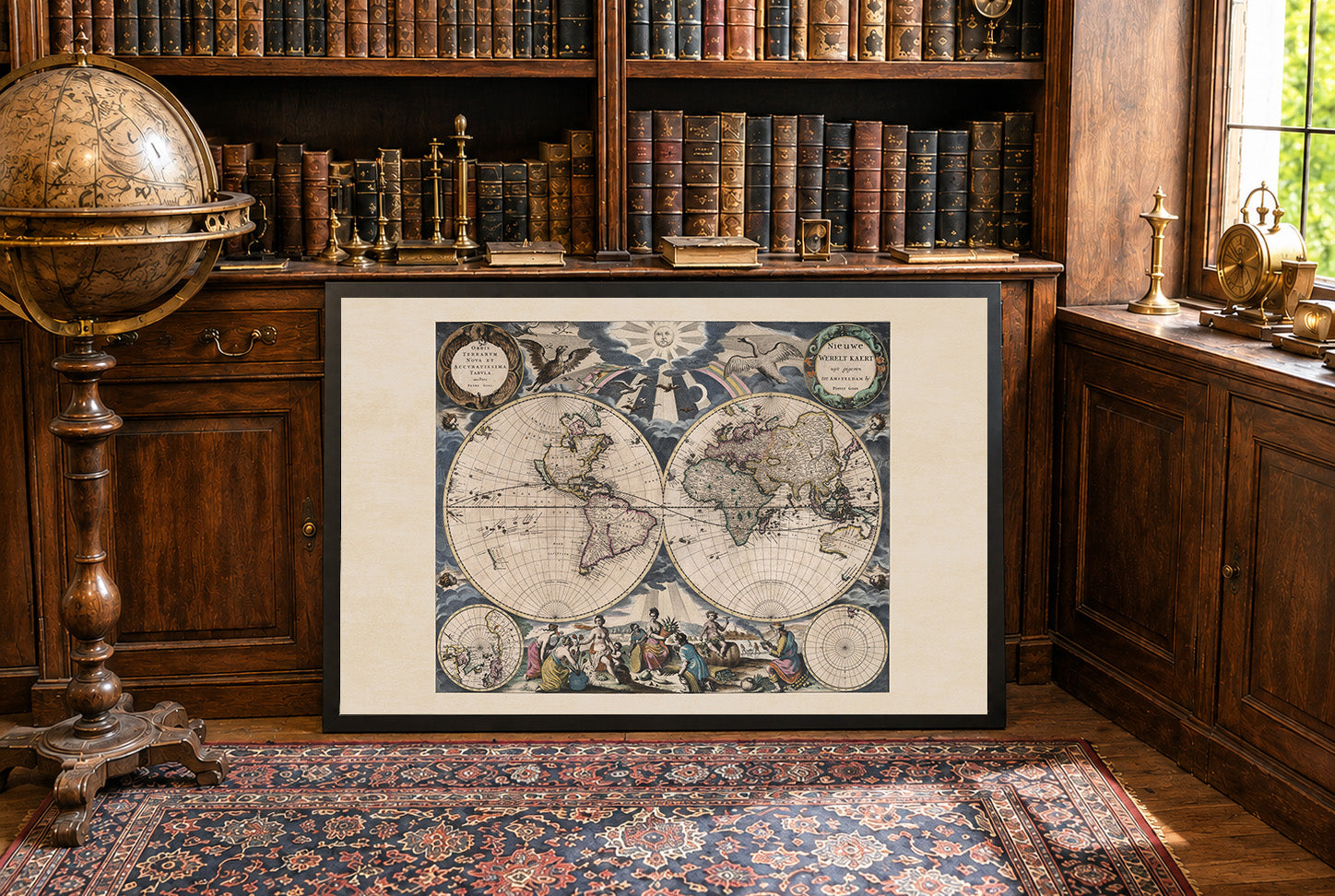
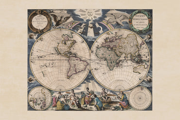
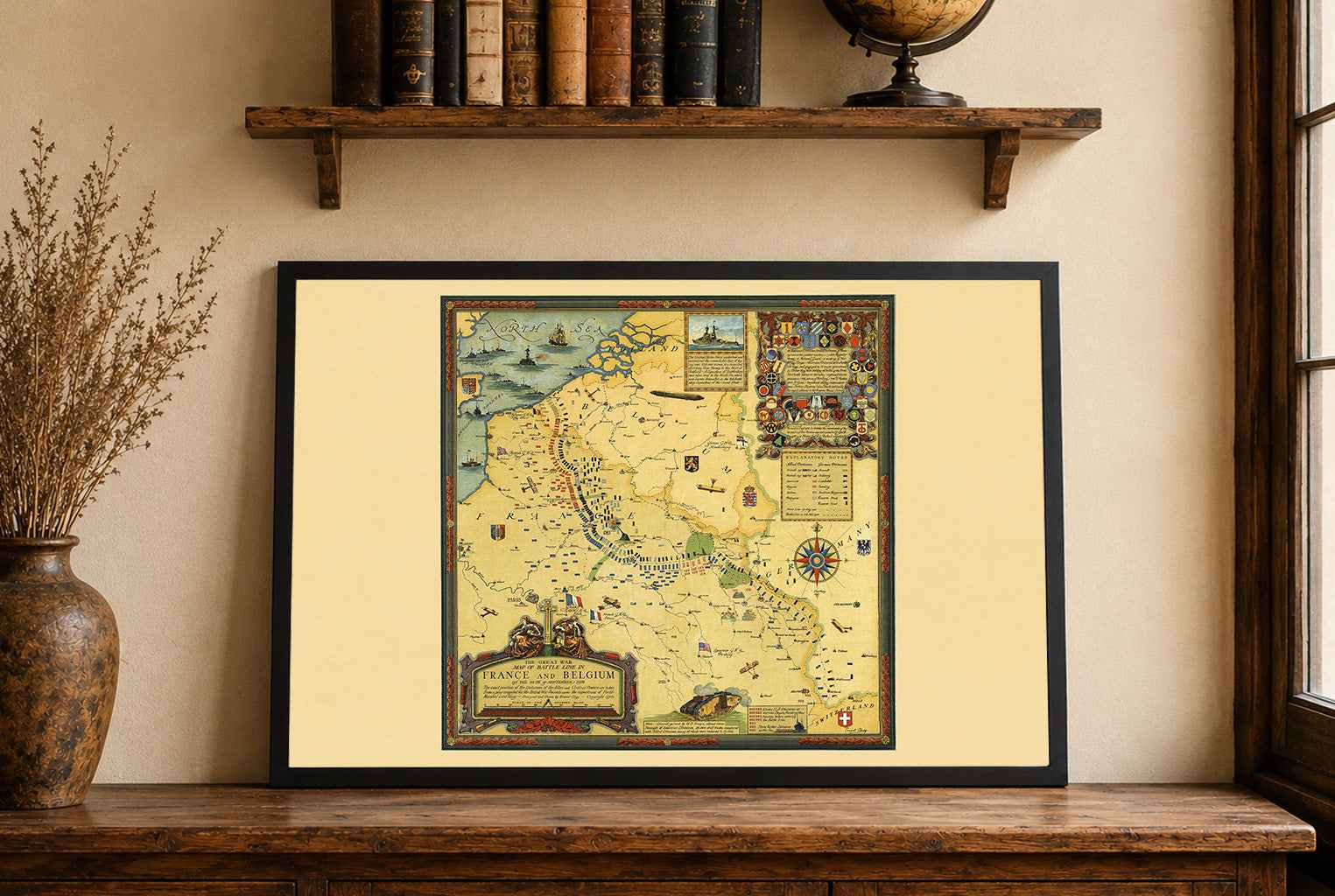
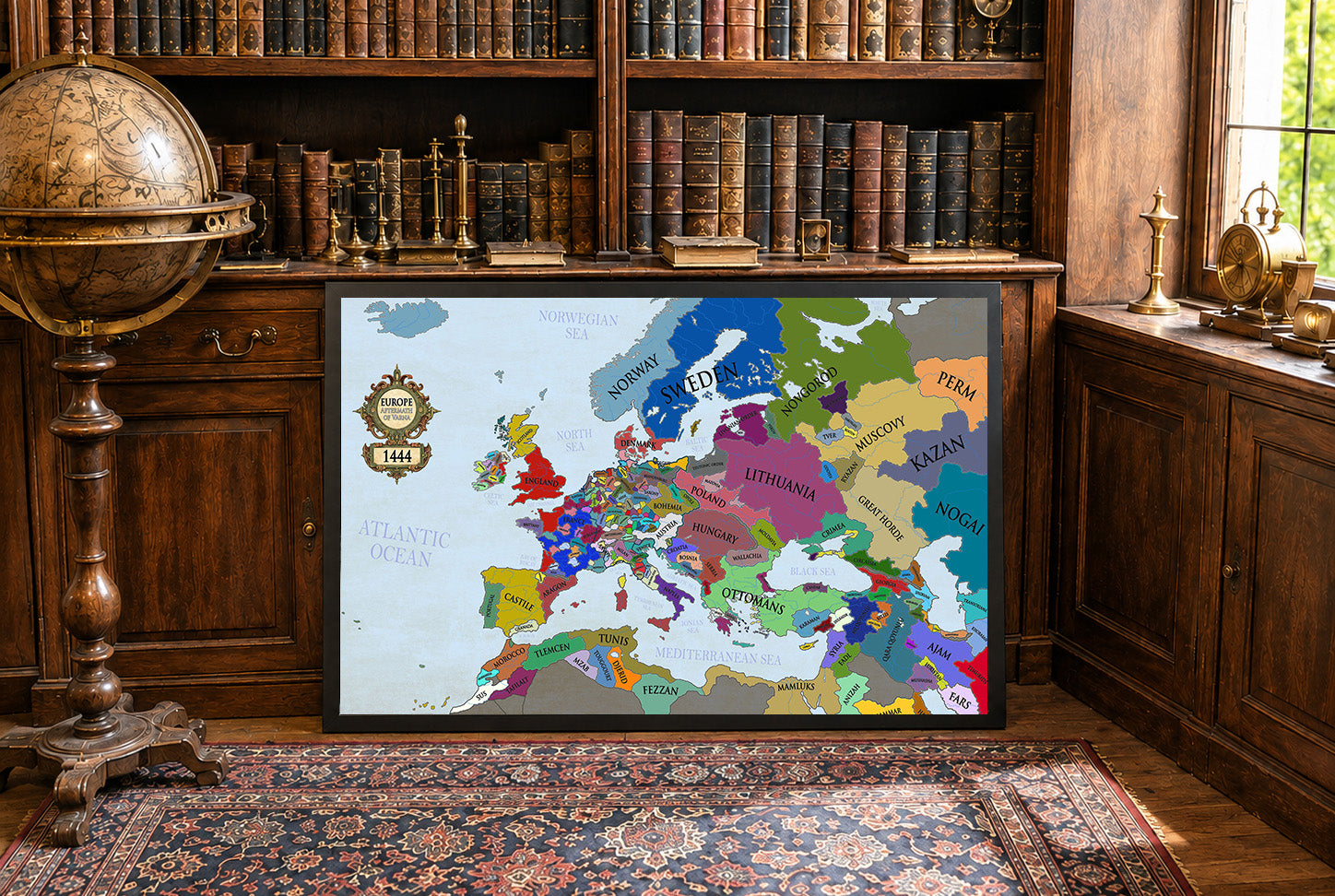
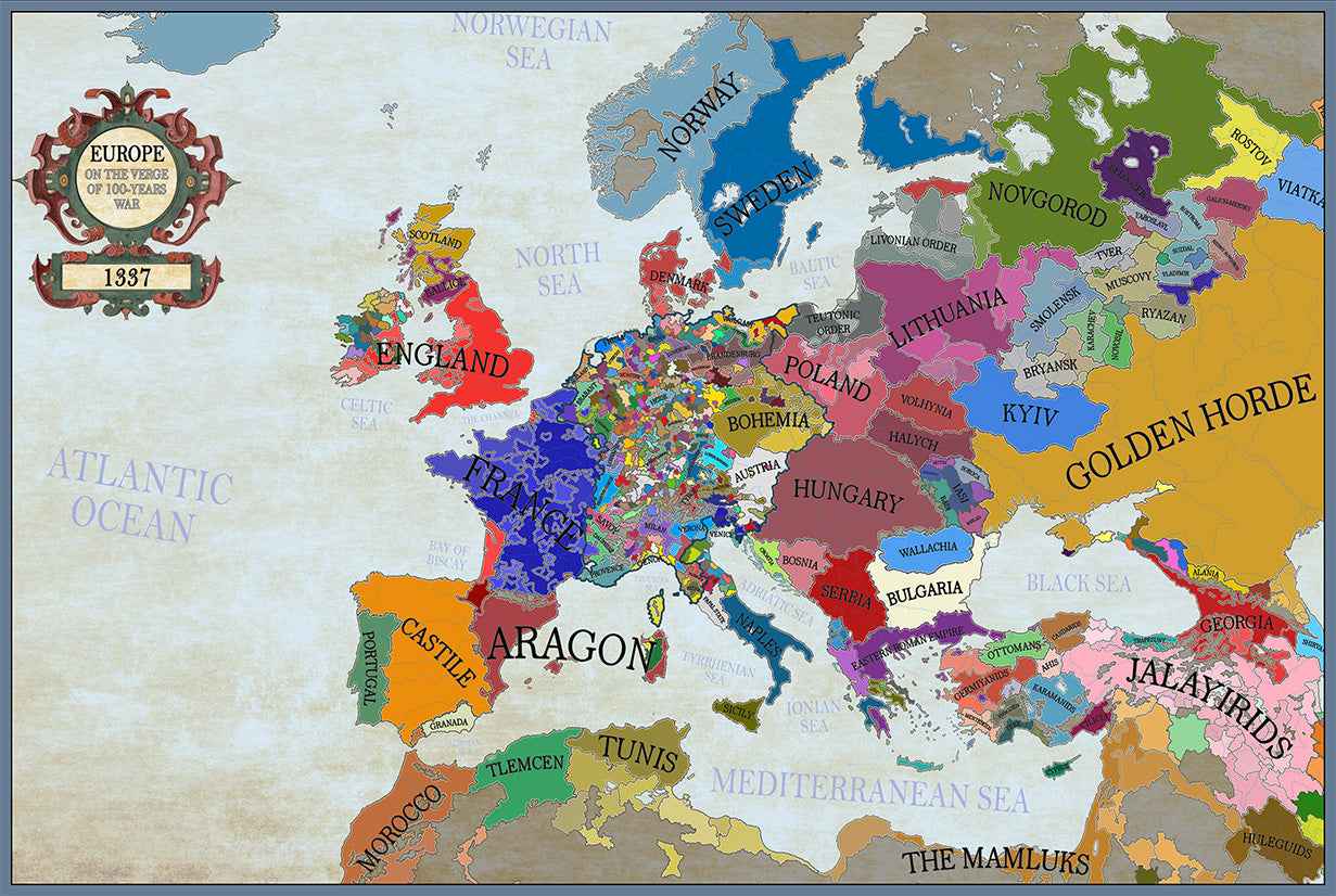
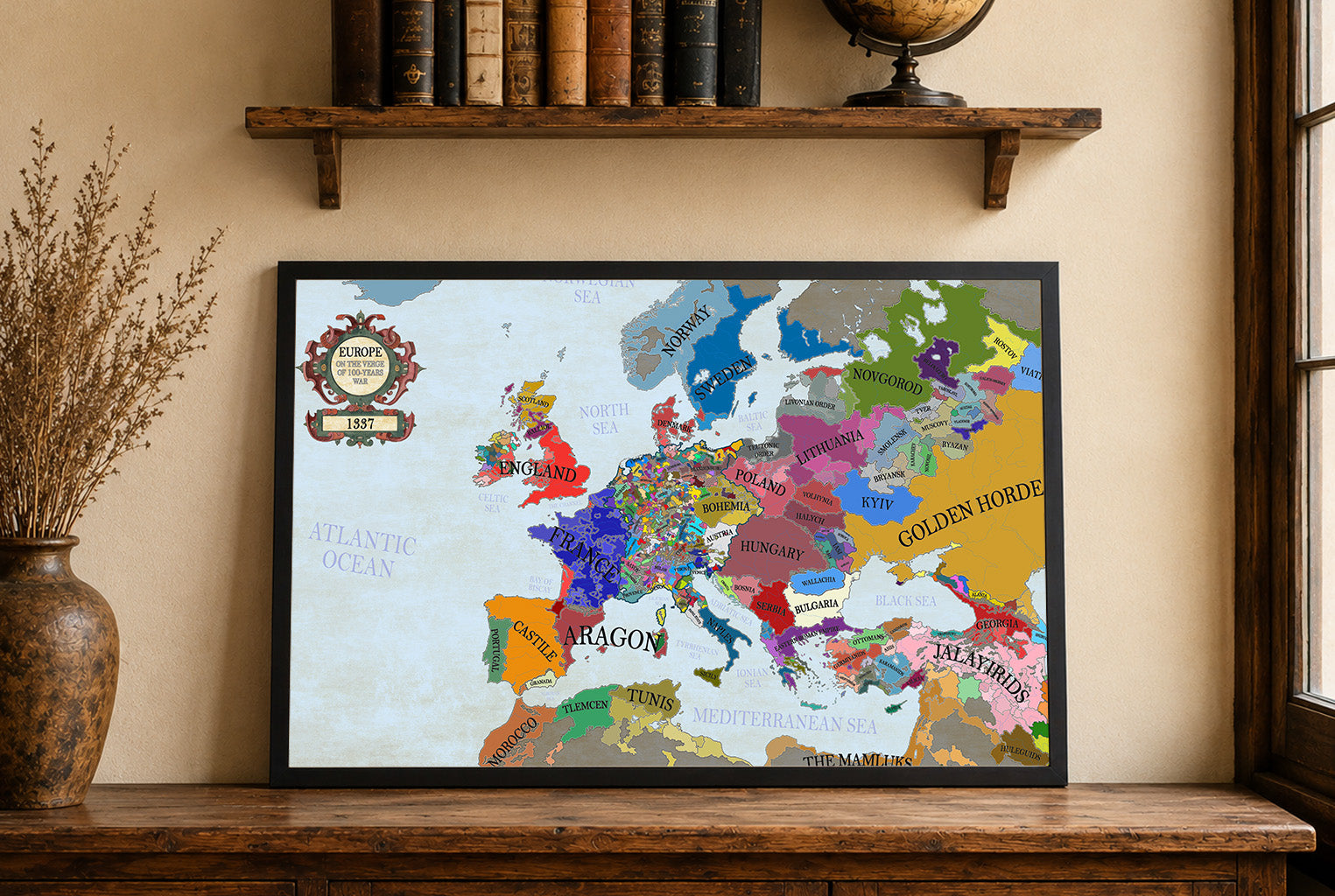
Maps came in a very well cushioned package with no damage occurring during transit. The color on the maps is nicely saturated and the maps look great on the wall.
Great quality, great packaging, great delivery! Highly recommend all maps!
Great material and colour saturation and means I can choose a country to play before turning on my PC :P
Map arrived in perfect condition and quality for reading cities, rivers, mountains and regions. Incredibly helpful in sourcing the map I wanted and adding it to the store.
Rotterdam is always 5 stars.