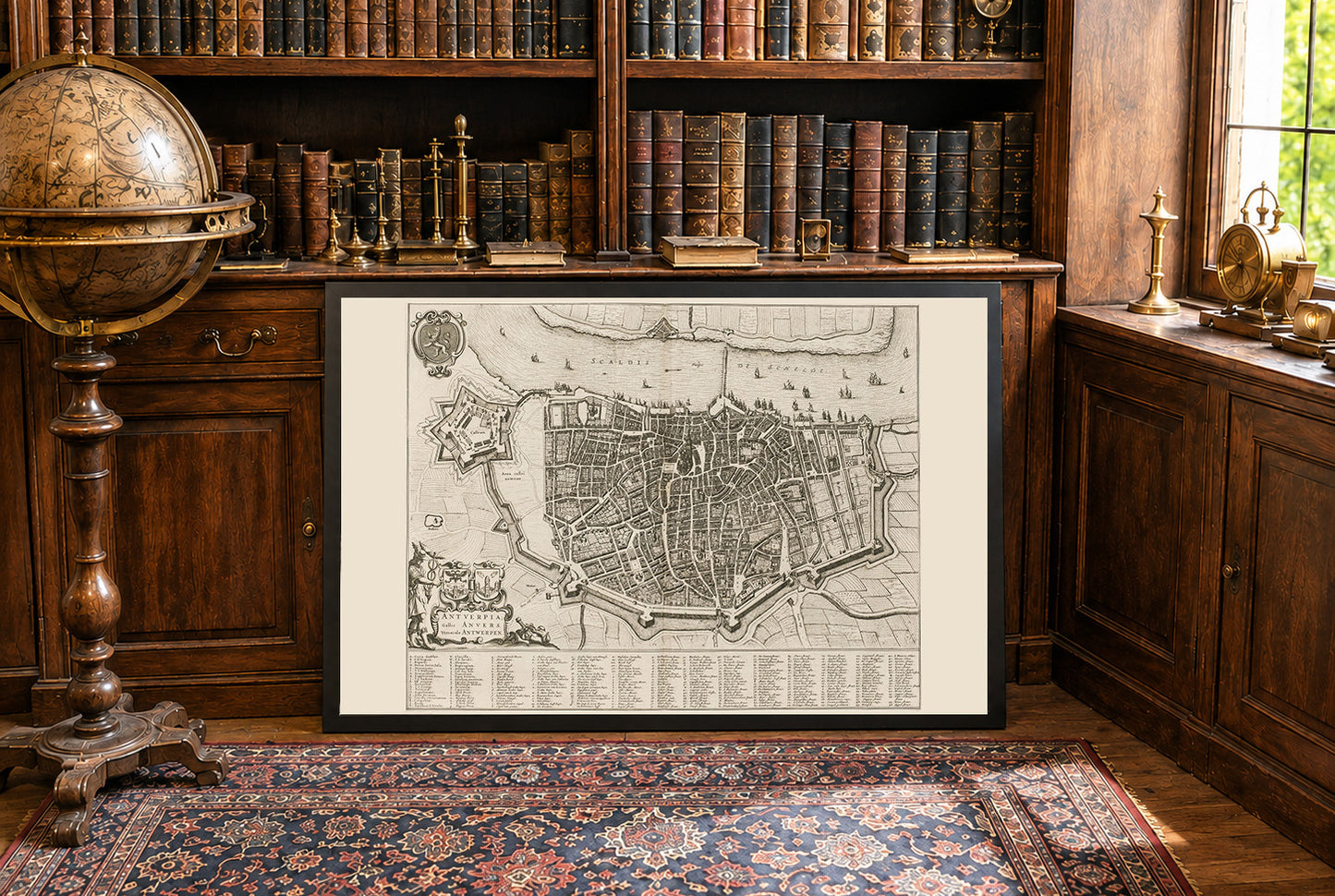
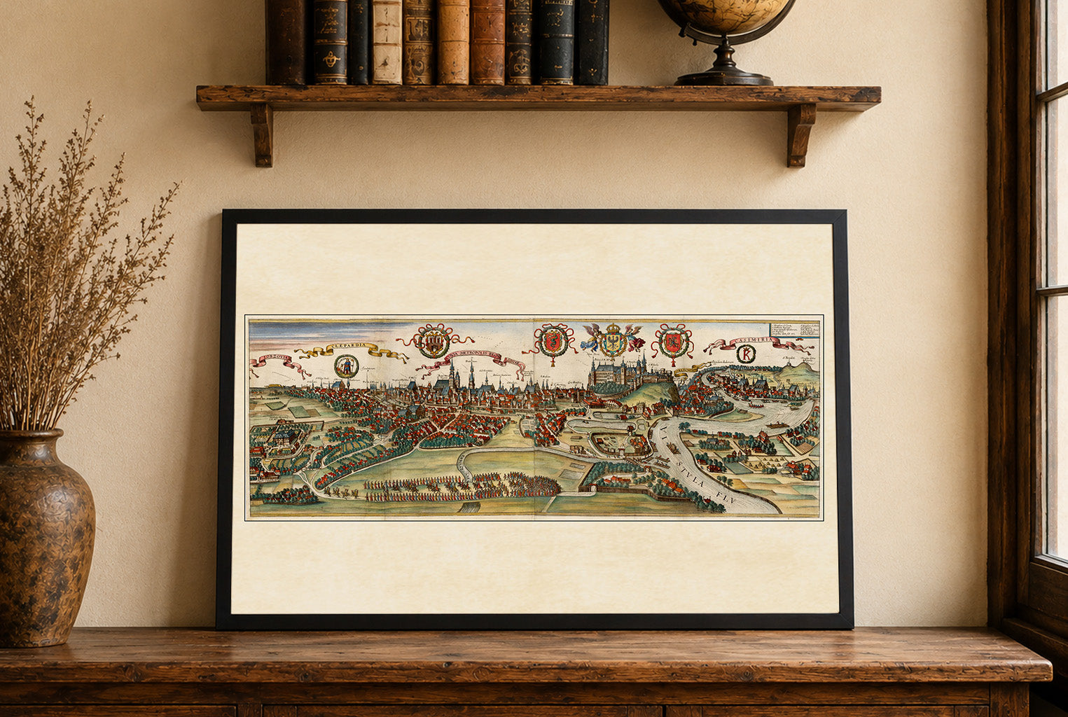
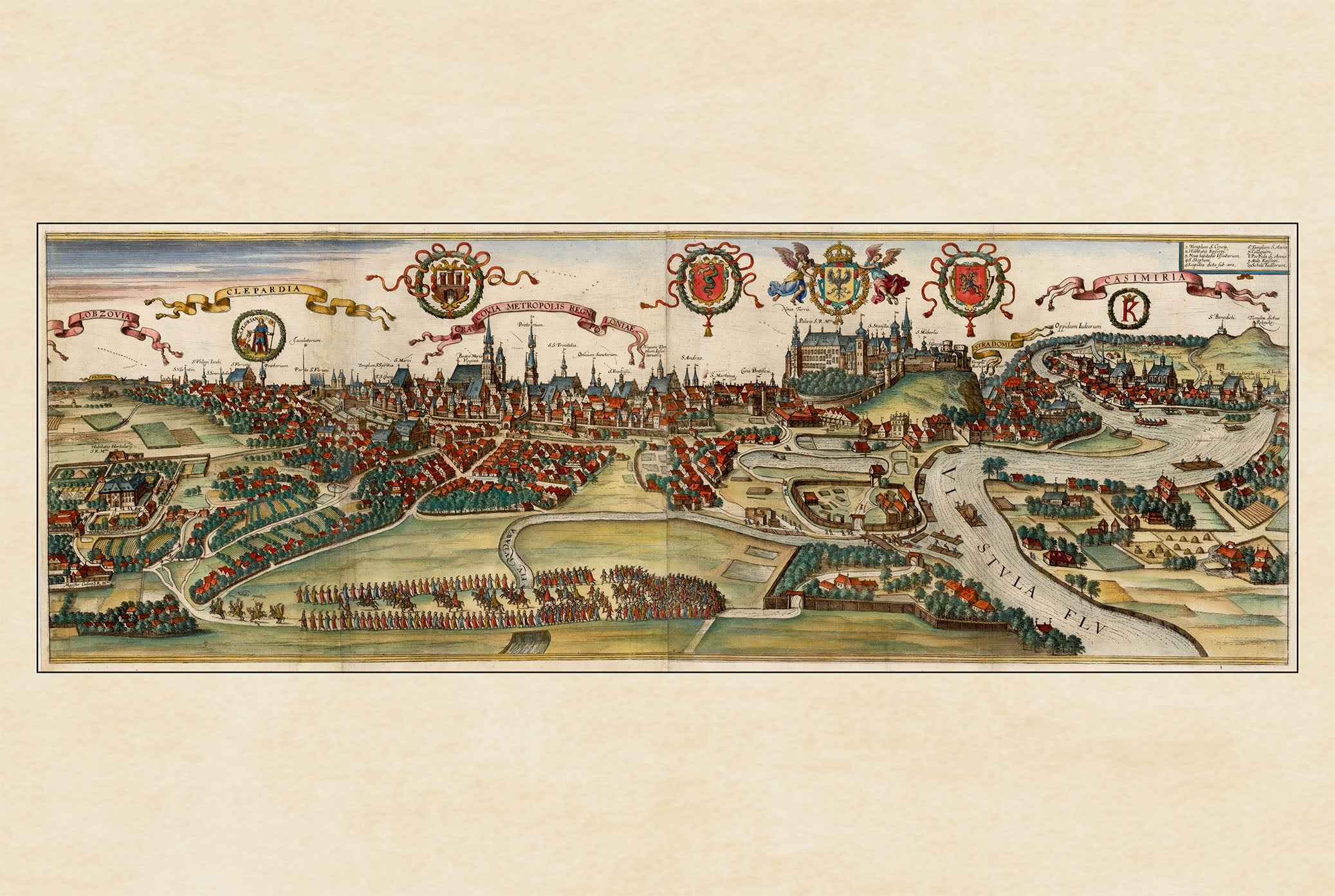
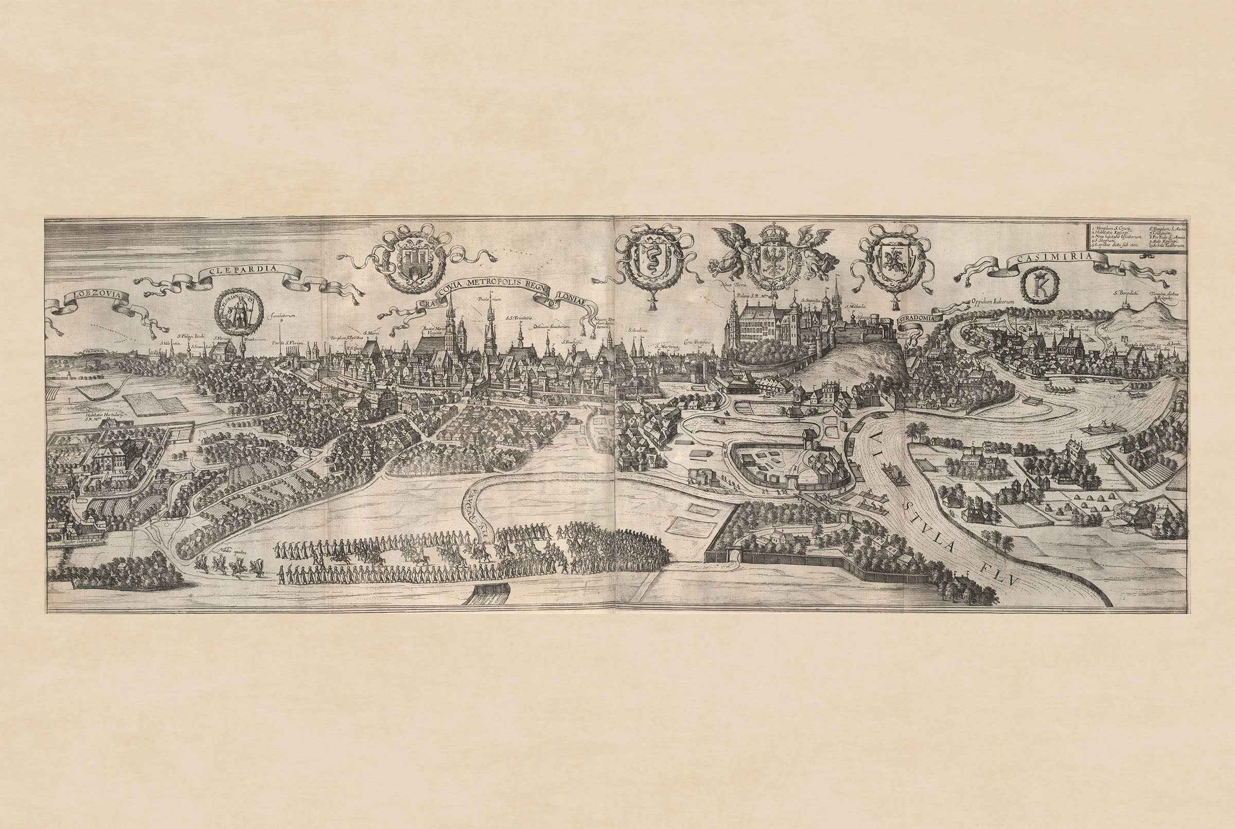
This work is a detailed city map titled "Antuerpia; Gallis Anvers:. Vernacule Antwerpen," created by Joan Blaeu and Willem Janszoon Blaeu in 1652.. The map is a depiction of Antwerp, Belgium, and is included in Volume Two of Blaeu’s townbooks of the Netherlands. The map is a finely detailed engraved depiction of Antwerp, showcasing the city’s layout during the mid-17th century. It combines both artistic and cartographic elements, characteristic of Blaeu’s work. The map is presented in black and white, with intricate details of streets, buildings, and fortifications.


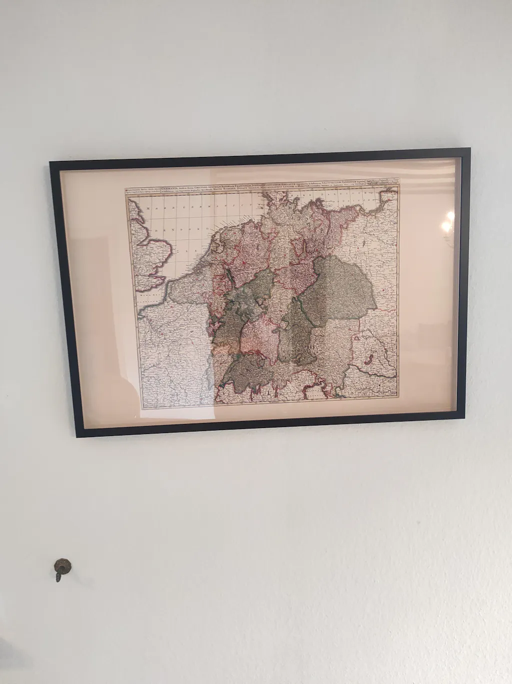
Great quality print, only when I got it i had correct the frame it was not put in properly, otherwise great.
Thank you. Map looks great. Much appreciated.
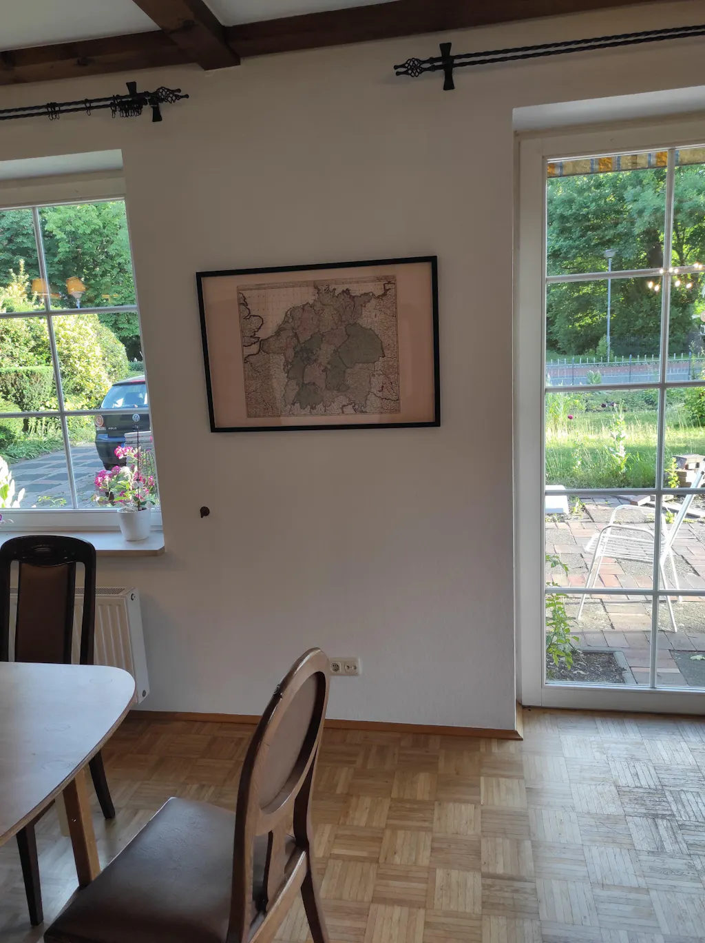
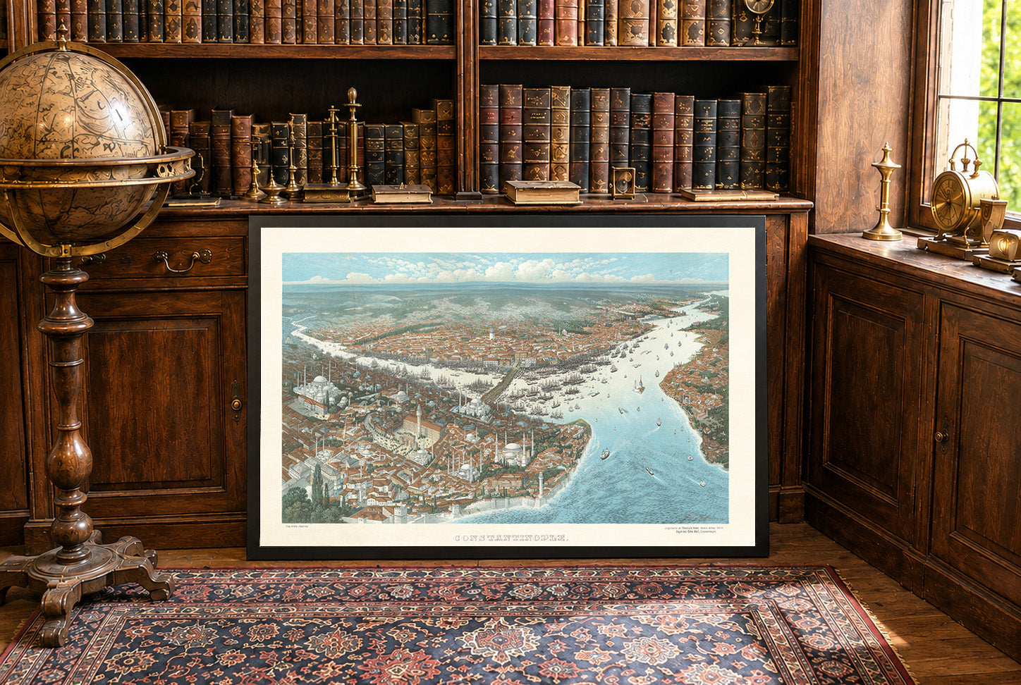
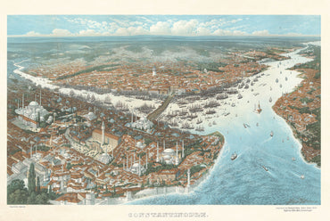
The Map arrived a few days ago but the shipment was really fast. Today I pinned them to the Wall. And the quality is impressive. The Frame is of a good quality, and the Map itself is also really good, feels like real fabric and not just thin paper. Exactly that what I expected a Professional Product to be.
The Shipment went really quick. I had the map at home in 2 days, even though I ordered it in the Evening. Also the payment was easy, I asked if I could pay with PayPal and Zlewikk made that Possible. I really appreciate that.
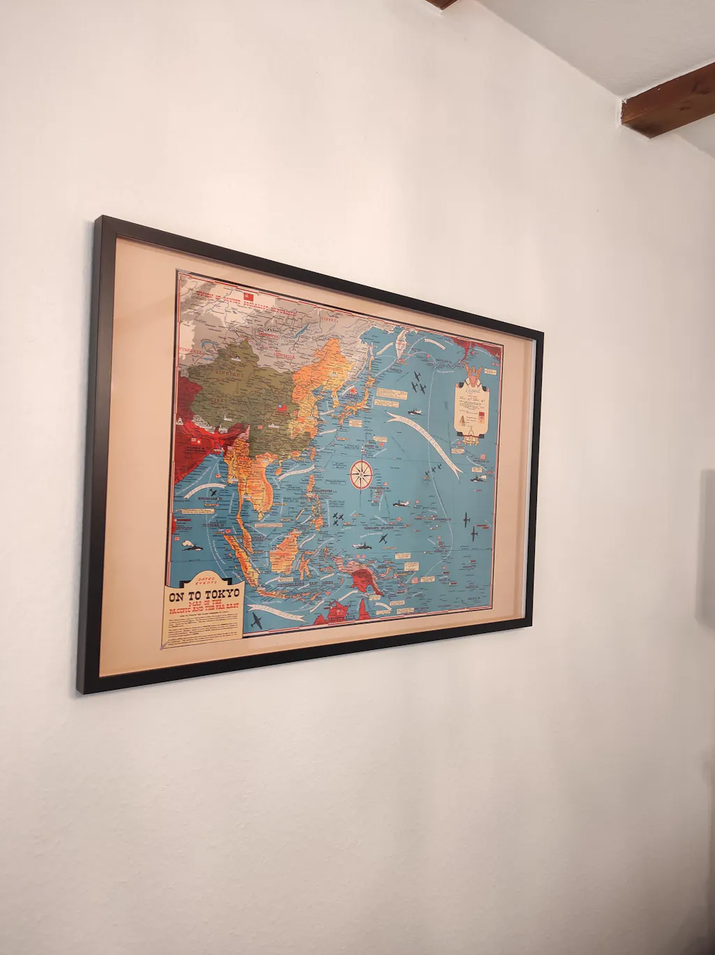
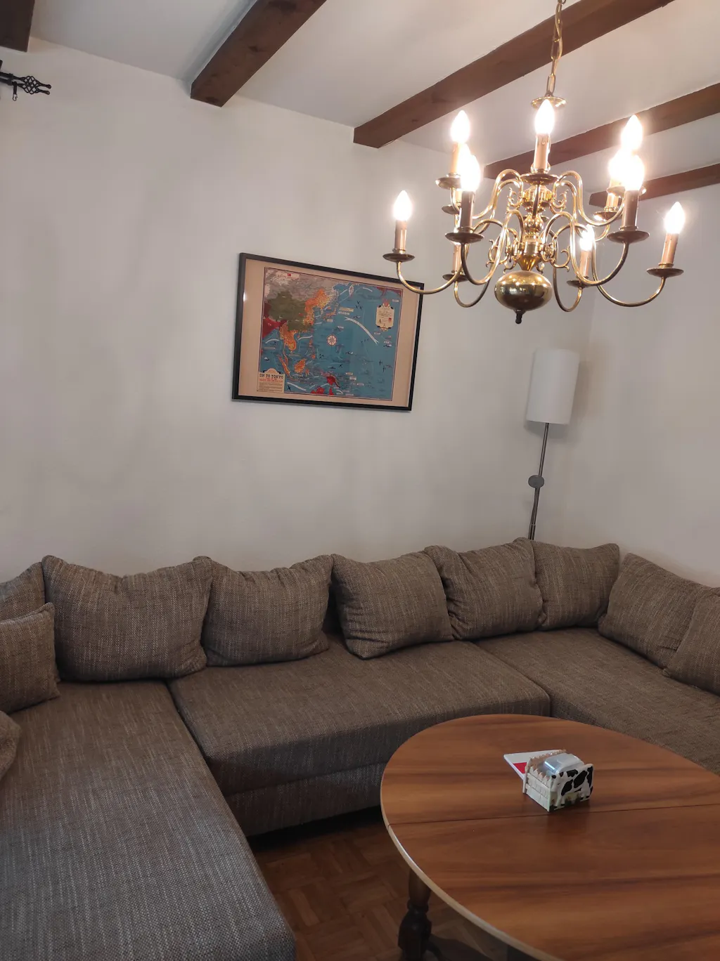
And the quality of the map is amazing. I can read all the Citynames of my home region, that is really impressive.