Skip to content
FREE SHIPPING FOR ORDERS ABOVE $200
Skip to product information
1 of 2

1855 Hindostan Cartography Print - Vintage British India Map

€40,95
€40,95 €48,95
Sale Sold out

Lowest price in 30 days: €39,95 EUR

Frame style: Unframed
Size: 91x61cm | 24x36in
  • Free Shipping - On All Orders Over $250!
Secure Payment
  • American Express
  • Apple Pay
  • Bancontact
  • BLIK
  • Google Pay
  • Maestro
  • Mastercard
  • MobilePay
  • PayPal
  • Shop Pay
  • Union Pay
  • Visa

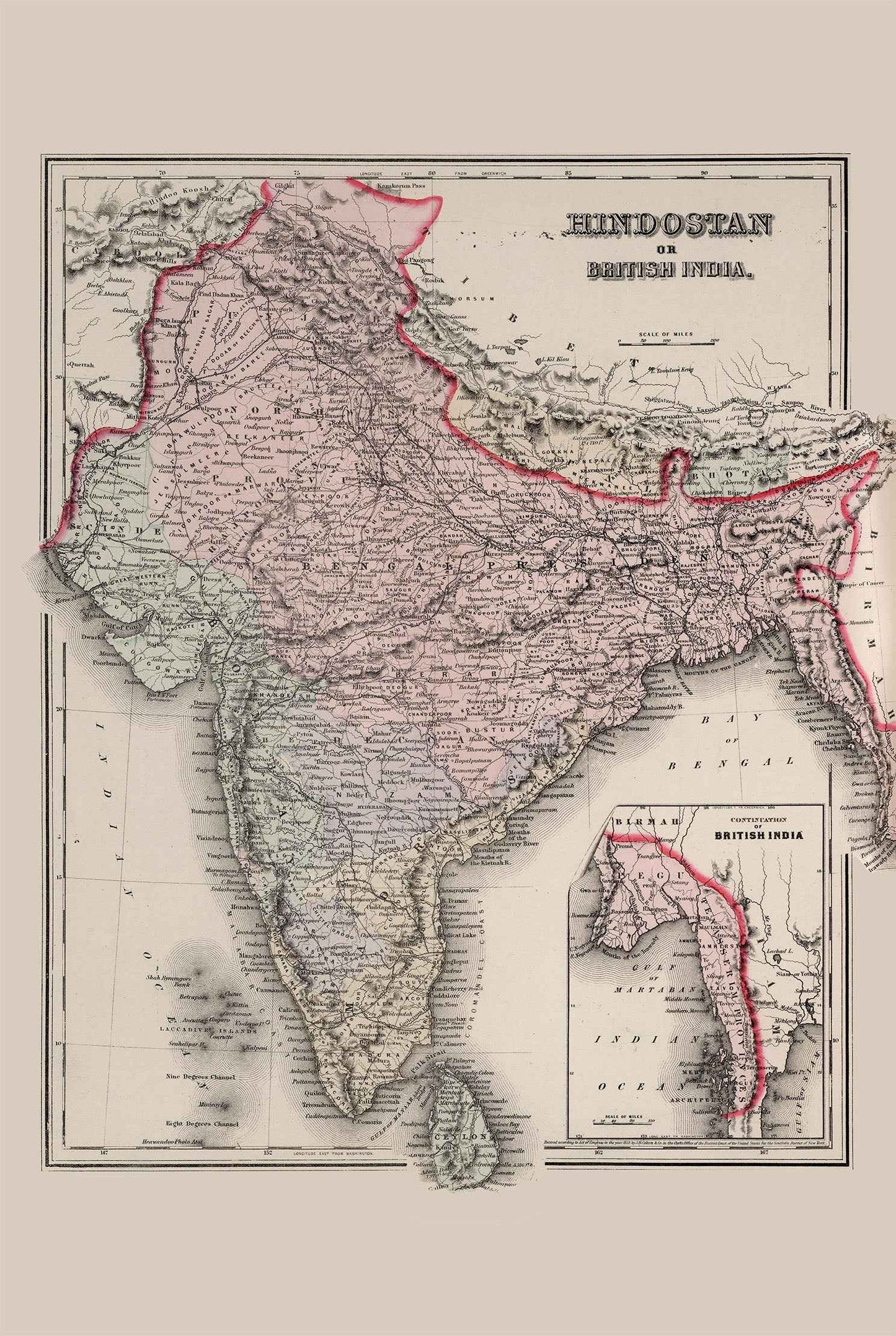
The image is a historical map titled "Hindostan or British India," created by authors O.W. Gray and J.H. Colton in 1855. The map is part of an atlas published by Stedman & Brown. It is a representation of the Indian subcontinent during the British colonial period, encompassing present-day Bangladesh, India, and Pakistan. The map is an atlas map, featuring a detailed and intricate layout. It uses full hand-painted color to distinguish various regions and boundaries, with a focus on clarity and accessibility. The main body of the map highlights the geographical expanse of British India, while an inset map details additional territories, likely emphasizing regions under British influence or control.

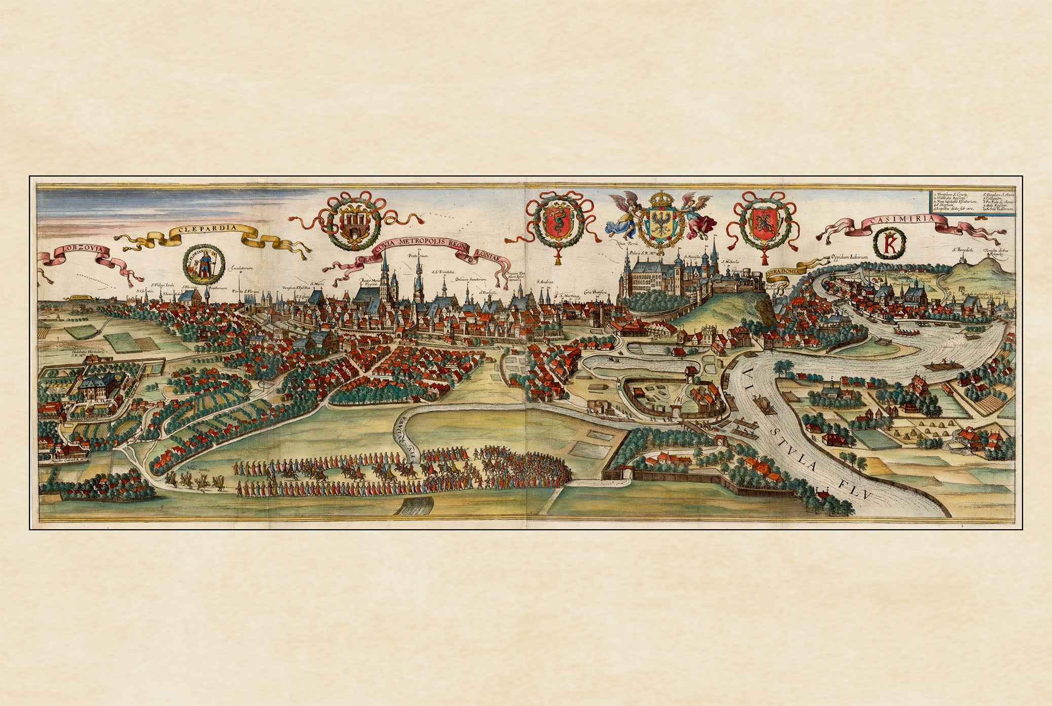
This is a reproduction print of a historical map

Author:
Colton, J.H.
Gray, O.W.

Date:
1855

Source: David Rumsey Map Collection, David Rumsey Map Center, Stanford Libraries

Everything is printed by ourselves in Poland.

We use a top quality Canon printer
Canon ImagePROGRAF PRO 2600 providing:

  • 2400 x 1200 dpi
  • 12-color printing system using Lucia-PRO II inks
  • High-precision printing with 5 pl droplet size per color
  • Print head with nozzle compensation function

The print is done on Cotton Canvas (
390 g/m²) prociding a vintage map feeling.

Currently we offer black hardboard frames with polystyrene plastic front protection.

Available in sizes:

  • 91x61cm | 24x36in
  • 70x50cm | 28x20in

We work with a range of trusted logistics providers to ensure you get the best balance of cost and delivery quality, including FedEx, UPS, and DPD. We currently ship to 32 countries worldwide, including 25 countries within the European Union, as well as the United Kingdom, Switzerland, Canada, Japan, Singapore, Hong Kong and the United States.

All orders include full tracking, so you can monitor your shipment every step of the way. We also offer free shipping on all orders with a cart value above $200.

If your postal code is not supported by our standard shipping options, please contact us at contact@strategymaps.co
and we will arrange a custom shipping solution tailored to your location.

We have a 30-day return policy, which means you have 30 days after receiving your item to request a return. To be eligible for a return, your item must be in the same condition that you received it, and in its original packaging. You’ll also need the receipt or proof of purchase.

When buying within the European Union have the right to cancel or return your order within 14 days, for any reason and without a justification.

Read more about return policy here.

View Product Details

From map lovers for map lovers

Get Your Hometown Blueprint Map - Modern City Street Wall Art