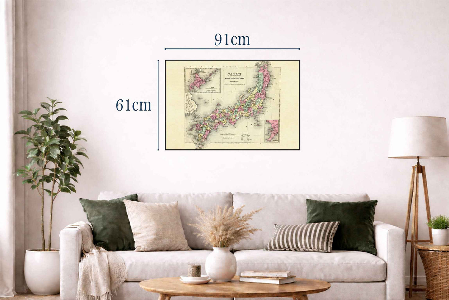


This map, titled "Japan Nippon, Kiusiu, Sikok, Yesso And The Japanese Kuriles," was created by G.W. Colton and published in 1856 by J.H. Colton & Co. The map is part of an atlas and is known for its detailed depiction of Japan during the mid-19th century. The publication reference is P816, and it is included in the Rumsey Collection with the Pub List No 0149.000 and List No 0149.096. The map is printed in full color, which was a distinguishing feature of high-quality maps during that period. It includes two inset maps: one of Yesso (now Hokkaido) and the Japanese Kuriles, and another of the Bay of Nagasaki. The map is framed with an ornate border, typical of Colton's style, adding an aesthetic appeal to the detailed geographic information.
This is a reproduction print of a historical map