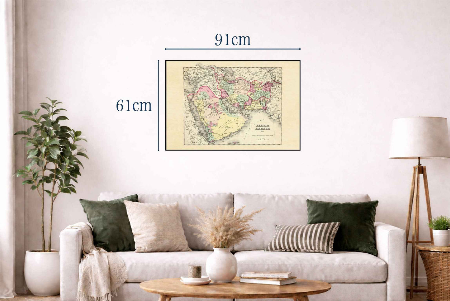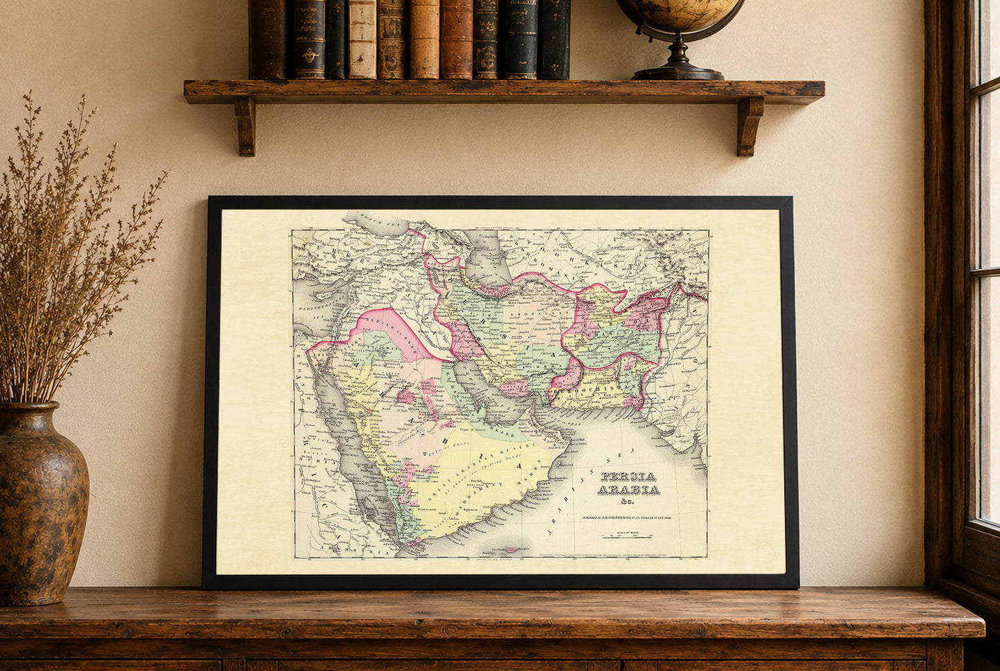


The work in question is a map titled "Persia Arabia & c.," created by G.W. Colton and published by J.H. Colton & Co. in 1856. It was published as part of Colton's world atlas, a significant publication during the mid-19th century, known for its accuracy and comprehensive coverage. The map is a colored atlas map, typical of the period, which provides a detailed depiction of geographical areas including Persia (modern-day Iran), Arabia, Afghanistan, and parts of Pakistan. The use of pastel colors helps differentiate various regions and political boundaries, a common practice in cartography to enhance readability and visual appeal.
This is a reproduction print of a historical map