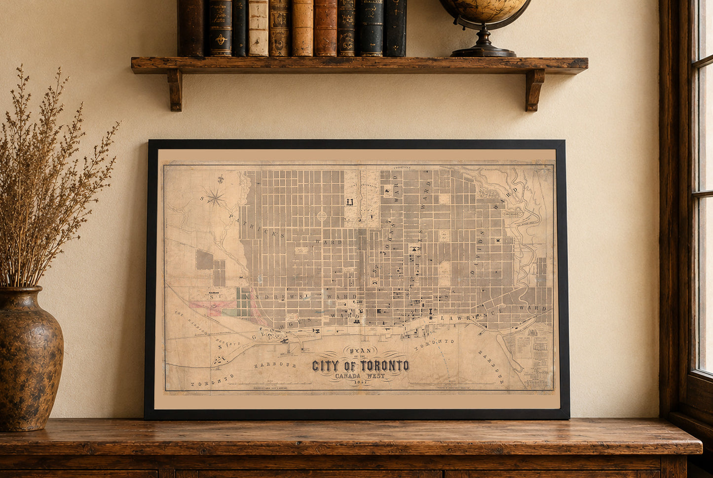


Plan of the City of Toronto Canada West 1857 is a large-format wall map published in Toronto by Fleming, Ridout & Schreiber, with J. Ellis credited as author and likely cartographer. Issued in pre-Confederation Canada (then called Canada West), the map shows extensive detail of Toronto’s urban fabric at midcentury. As described on the sheet, it utilizes the “latest authorities” of the time, presenting an authoritative snapshot of the city as it existed in the 1850s.
The primary subject is the city plan of Toronto, rendered in its entirety with a rectilinear street grid, individual ward boundaries labeled prominently, and major urban features such as parks, institutions, the University, and the harbour indicated with symbols and hatching. Neighborhoods and districts are defined by ward names (e.g., St. Lawrence, St. James, St. Andrew’s), with the map’s extent reaching from the waterfront up through Yorkville in the north, and from St. Patrick’s in the west to St. David’s in the east. A table in the lower right lists fire alarm call boxes and other essential public service information, while smaller inset blocks depict major government buildings and institutions.
This is a reproduction print of a historical map