Skip to content
FREE SHIPPING FOR ORDERS ABOVE $200
Skip to product information
1 of 3

Carolingian Empire Map Poster - Vintage Medieval Europe Historical Wall Art

€39,95
€39,95 €48,95
Sale Sold out

Lowest price in 30 days: €39,95 EUR

Frame style: Unframed
Size: 91x61cm | 24x36in
  • Free Shipping - On All Orders Over $250!
Secure Payment
  • American Express
  • Apple Pay
  • Bancontact
  • BLIK
  • Google Pay
  • Maestro
  • Mastercard
  • Shop Pay
  • Union Pay
  • Visa

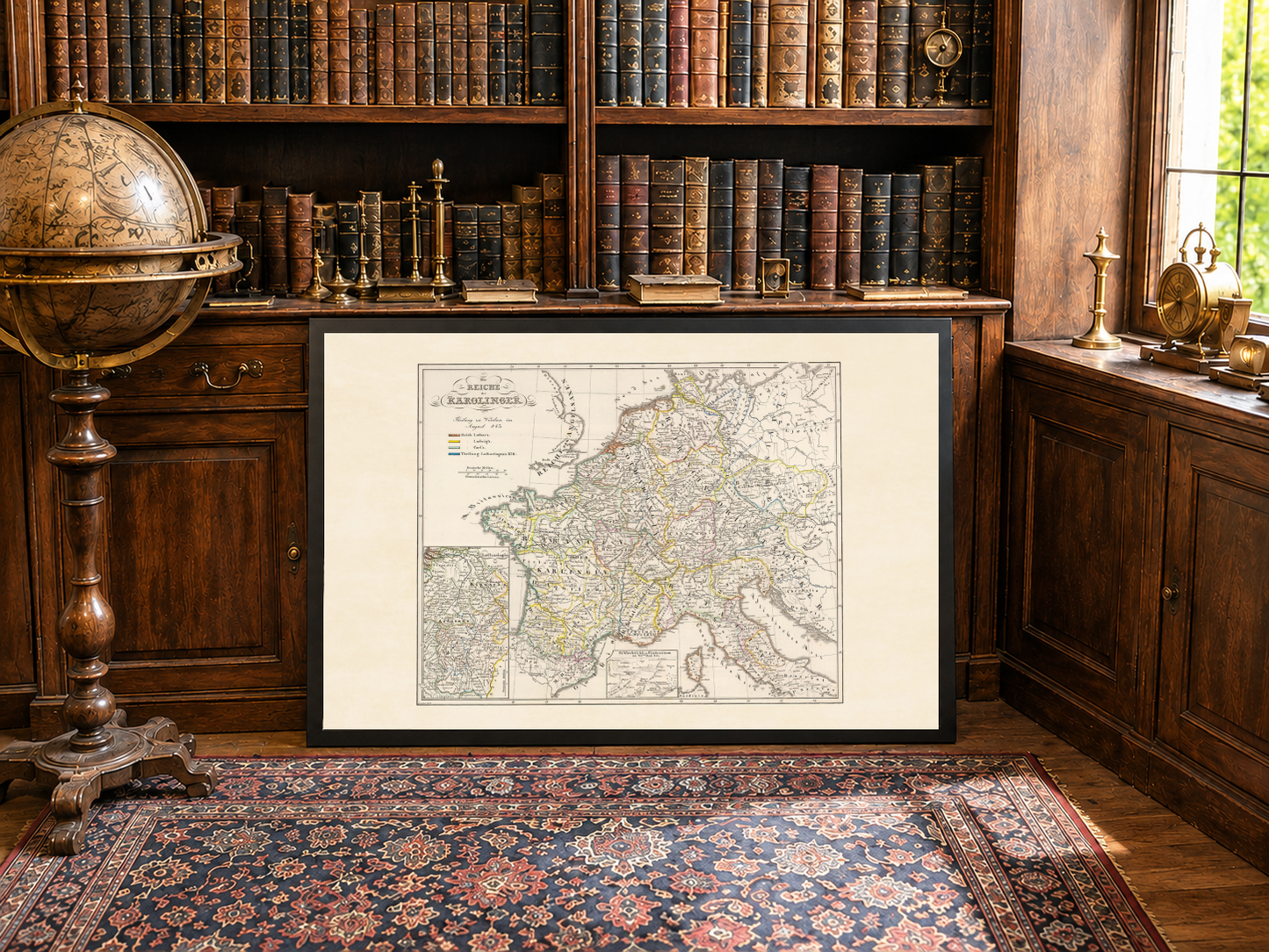
Explore the fascinating history of medieval Europe with this detailed Carolingian Empire map poster titled “Die Reiche der Karolinger,” created by Karl Spruner von Merz and published in 1854 by Justus Perthes as part of “K.v. Spruner's histor. Atlas: Deutschland u.a.” This beautifully restored historical atlas map presents the territories of the Carolingian Empire following the Treaty of Verdun in 843, one of the most important political divisions in early European history.

This hand-colored historical map uses traditional 19th-century cartographic techniques, including hachures to illustrate terrain and relief. Distinct regional coloring clearly separates the territories controlled by Lothair I, Louis the German, and Charles the Bald after the partition of Charlemagne’s empire. The intricate geographic details and refined engraving style reflect the precision and craftsmanship characteristic of mid-19th-century atlas production.

The map offers a broad overview of medieval Europe during the Carolingian period, highlighting the foundations of many modern European states. Combining historical significance with elegant antique aesthetics, this vintage map poster is ideal for history enthusiasts, educators, collectors, and lovers of medieval European history.

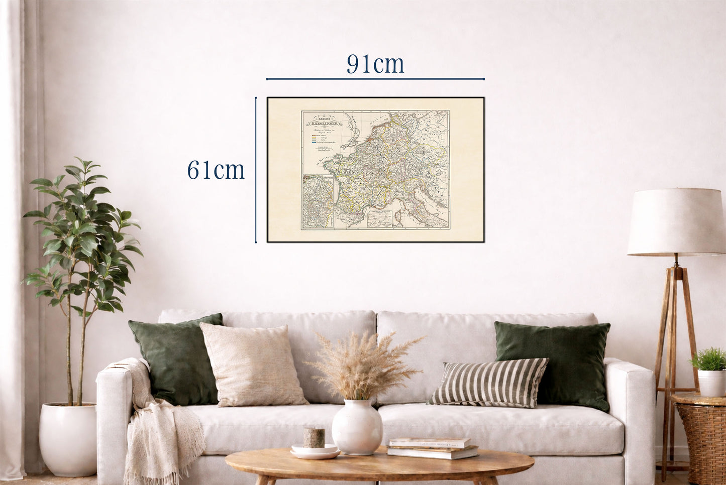
Perfect as wall decor for offices, libraries, classrooms, studies, or living spaces, this reproduction print brings the legacy of Charlemagne and the early medieval world into your home with timeless sophistication.

This is a reproduction print of a historical map

Author:
Spruner von Merz, Karl

Date:
1854

Source: David Rumsey Map Collection, David Rumsey Map Center, Stanford Libraries

We use a top quality Canon printer
Canon ImagePROGRAF PRO 2600 providing:

  • 2400 x 1200 dpi
  • 12-color printing system using Lucia-PRO II inks
  • High-precision printing with 5 pl droplet size per color
  • Print head with nozzle compensation function

The print is done on Cotton Canvas (
390 g/m²) prociding a vintage map feeling.

Currently we offer black hardboard frames with polystyrene plastic front protection.

Available in sizes:

  • 91x61cm | 24x36in
  • 70x50cm | 28x20in

We work with a range of trusted logistics providers to ensure you get the best balance of cost and delivery quality, including FedEx, UPS, and DPD. We currently ship to 30 countries worldwide, including 25 countries within the European Union, as well as the United Kingdom, Switzerland, Canada, Japan and the United States.

All orders include full tracking, so you can monitor your shipment every step of the way. We also offer free shipping on all orders with a cart value above $200.

If your postal code is not supported by our standard shipping options, please contact us at contact@strategymaps.co
and we will arrange a custom shipping solution tailored to your location.

We have a 30-day return policy, which means you have 30 days after receiving your item to request a return. To be eligible for a return, your item must be in the same condition that you received it, and in its original packaging. You’ll also need the receipt or proof of purchase.

When buying within the European Union have the right to cancel or return your order within 14 days, for any reason and without a justification.

Read more about return policy here.

View Product Details

From map lovers for map lovers

Get Your Hometown Blueprint Map - Modern City Street Wall Art