Skip to content
FREE SHIPPING FOR ORDERS ABOVE $200
Skip to product information
1 of 4

Livonia & Courland Map Poster (1696) - Vintage Estonia, Latvia & Baltic Historical Wall Art

€40,95
€40,95 €49,95
Sale Sold out

Lowest price in 30 days: €40,95 EUR

Frame style: Unframed
Size: 91x61cm | 24x36in
  • Free Shipping - On All Orders Over $250!
Secure Payment
  • American Express
  • Apple Pay
  • Bancontact
  • BLIK
  • Google Pay
  • Maestro
  • Mastercard
  • MobilePay
  • PayPal
  • Shop Pay
  • Union Pay
  • Visa

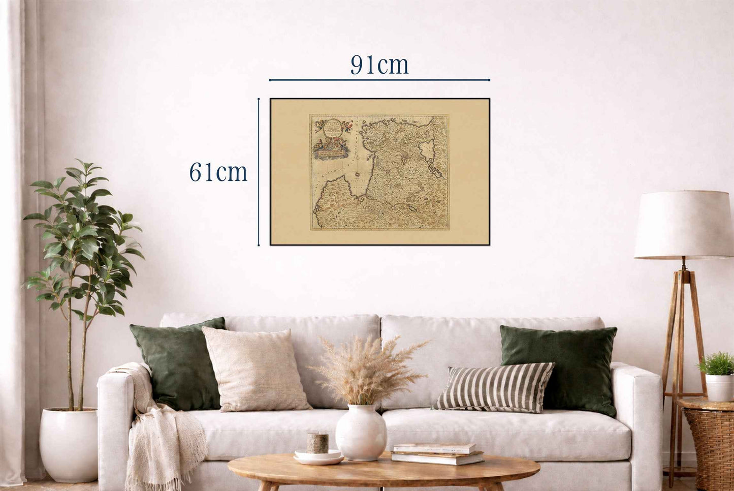
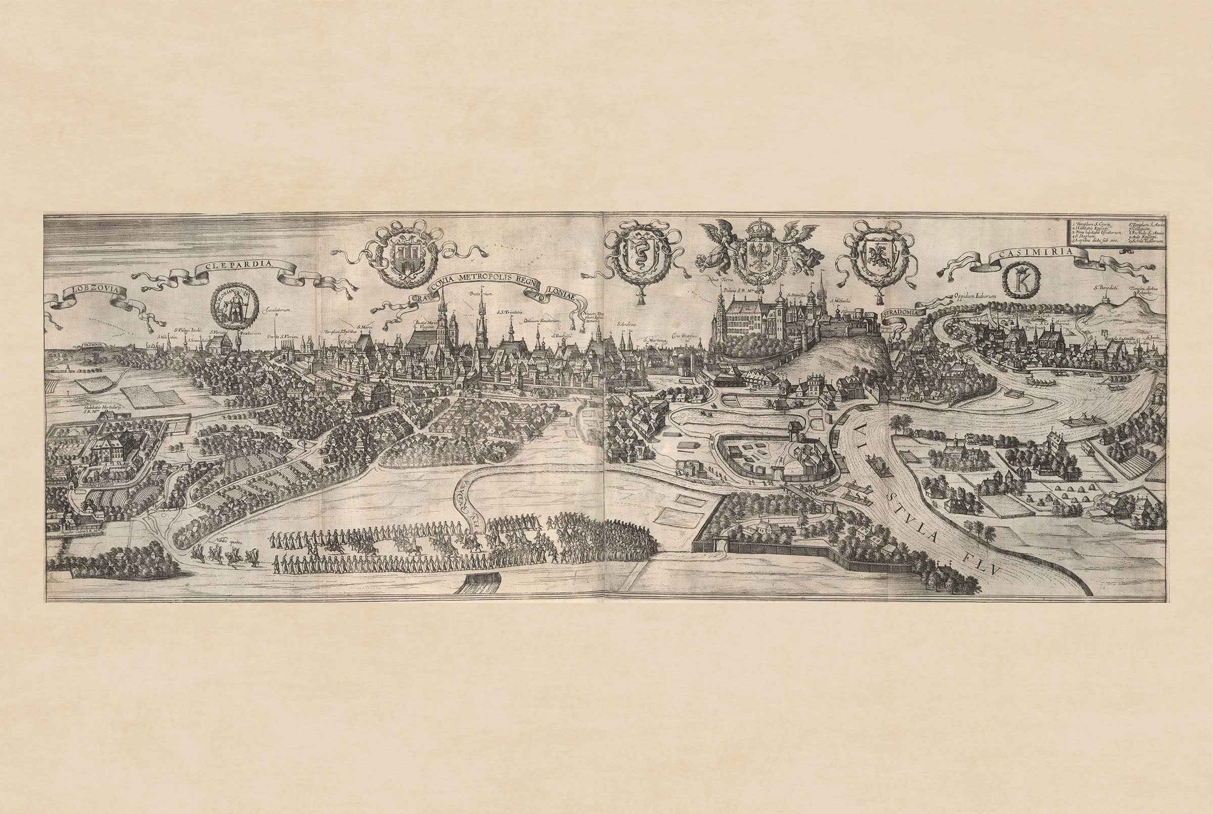
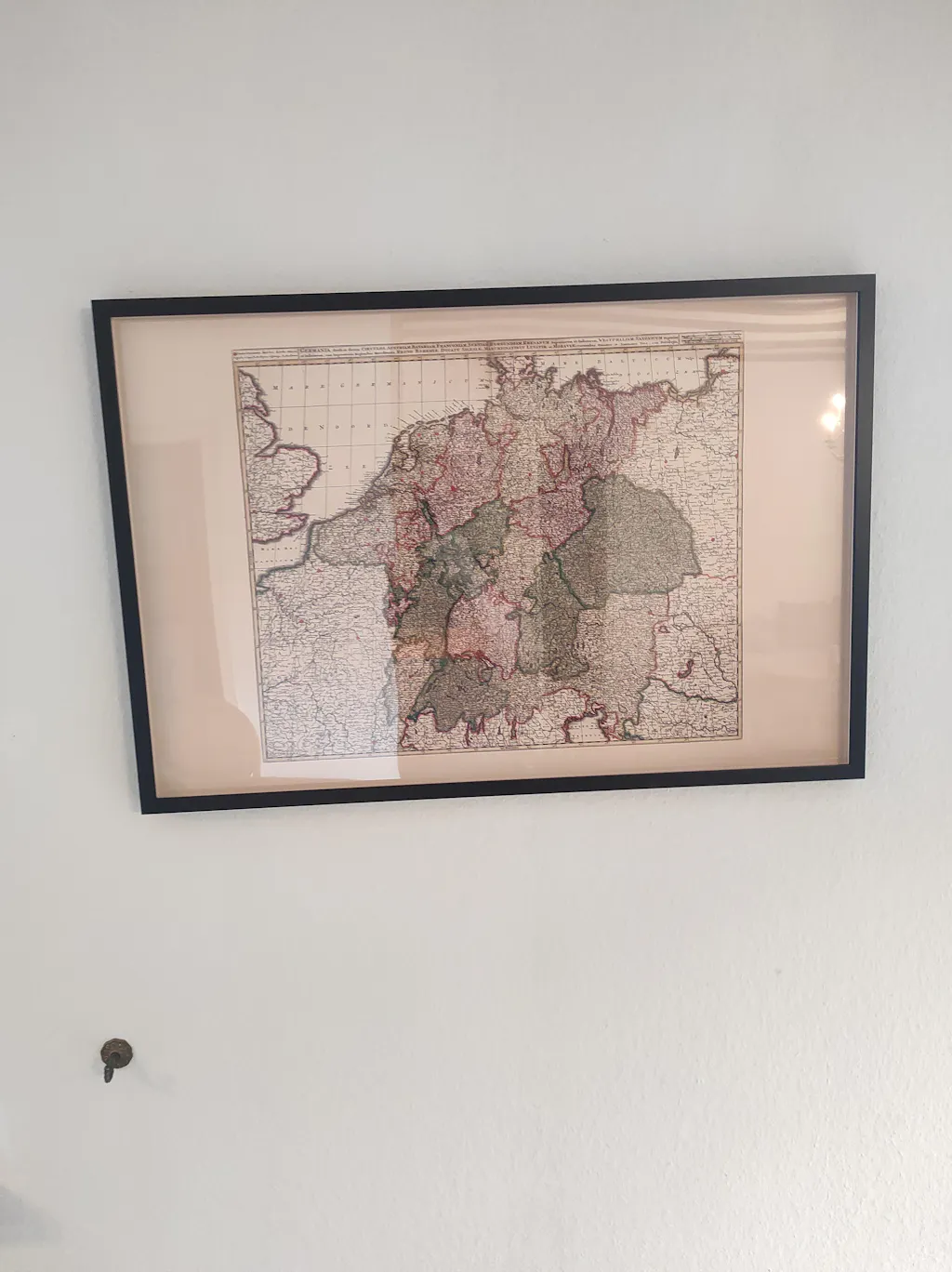
Discover the rich history of the Baltic region with this remarkable Livonia & Courland Map Poster, featuring the celebrated "Ducatuum Livoniae et Curlandiae Novissima Tabula" created by Justus Danckerts in Amsterdam during the late 17th century. This beautifully engraved map presents the historic territories of Livonia, Courland, Estonia, and neighboring Baltic provinces in exceptional detail, making it one of the finest examples of Dutch Golden Age cartography.

Produced using the masterful copperplate engraving techniques for which the Danckerts family became famous, the map illustrates the historical regions of present-day Estonia, Latvia, and surrounding Baltic lands with remarkable geographic accuracy. Rivers, forests, towns, castles, coastlines, and administrative boundaries are meticulously engraved, reflecting the growing importance of the Baltic Sea region in European trade and politics during the 17th century.

An elaborate decorative cartouche, elegant typography, and richly engraved heraldic coats of arms showcase the artistic excellence characteristic of Amsterdam's leading mapmakers. Fine sea details, sailing ships, and ornamental embellishments transform this map into both a valuable historical document and a striking work of decorative art.

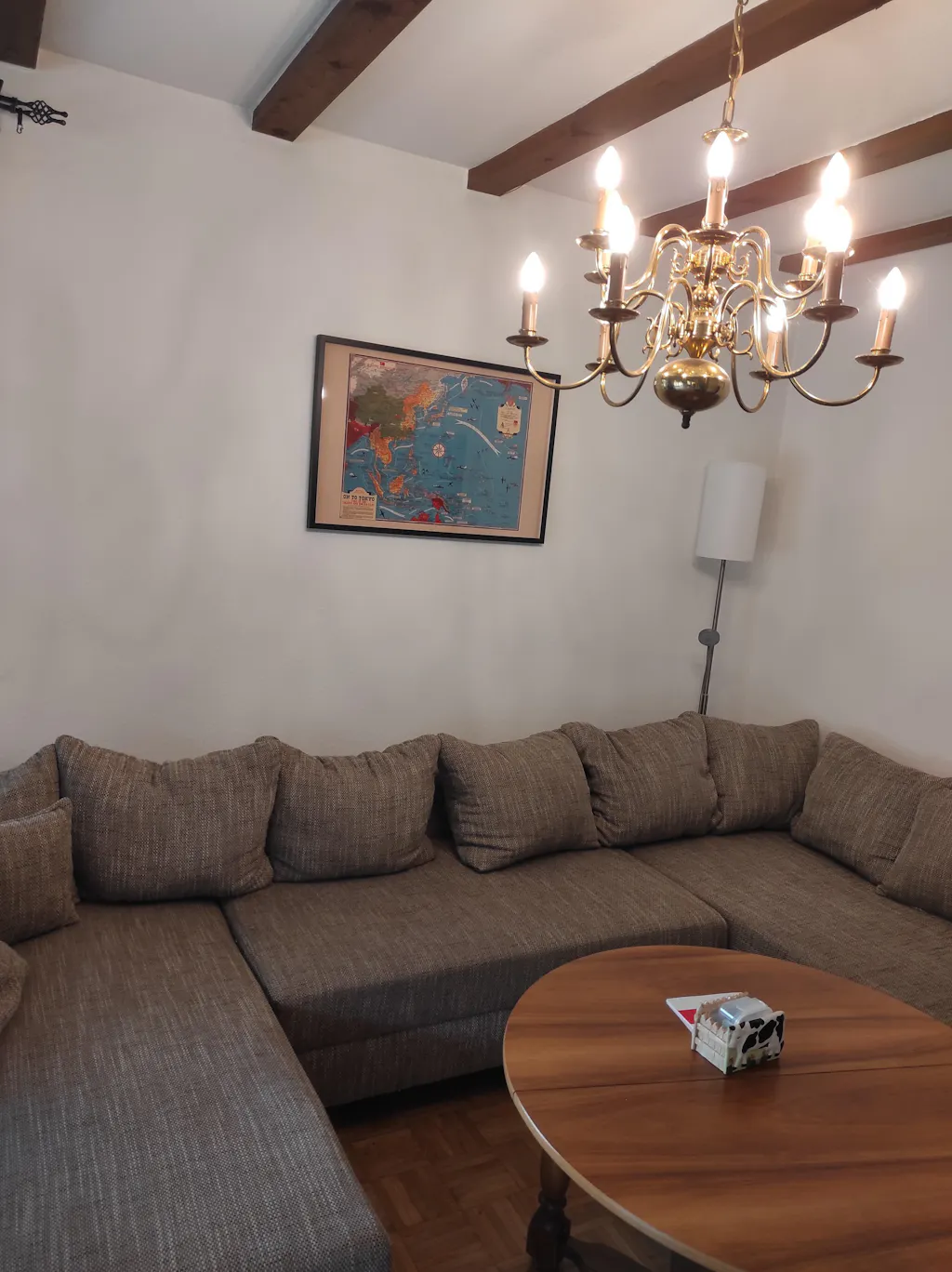
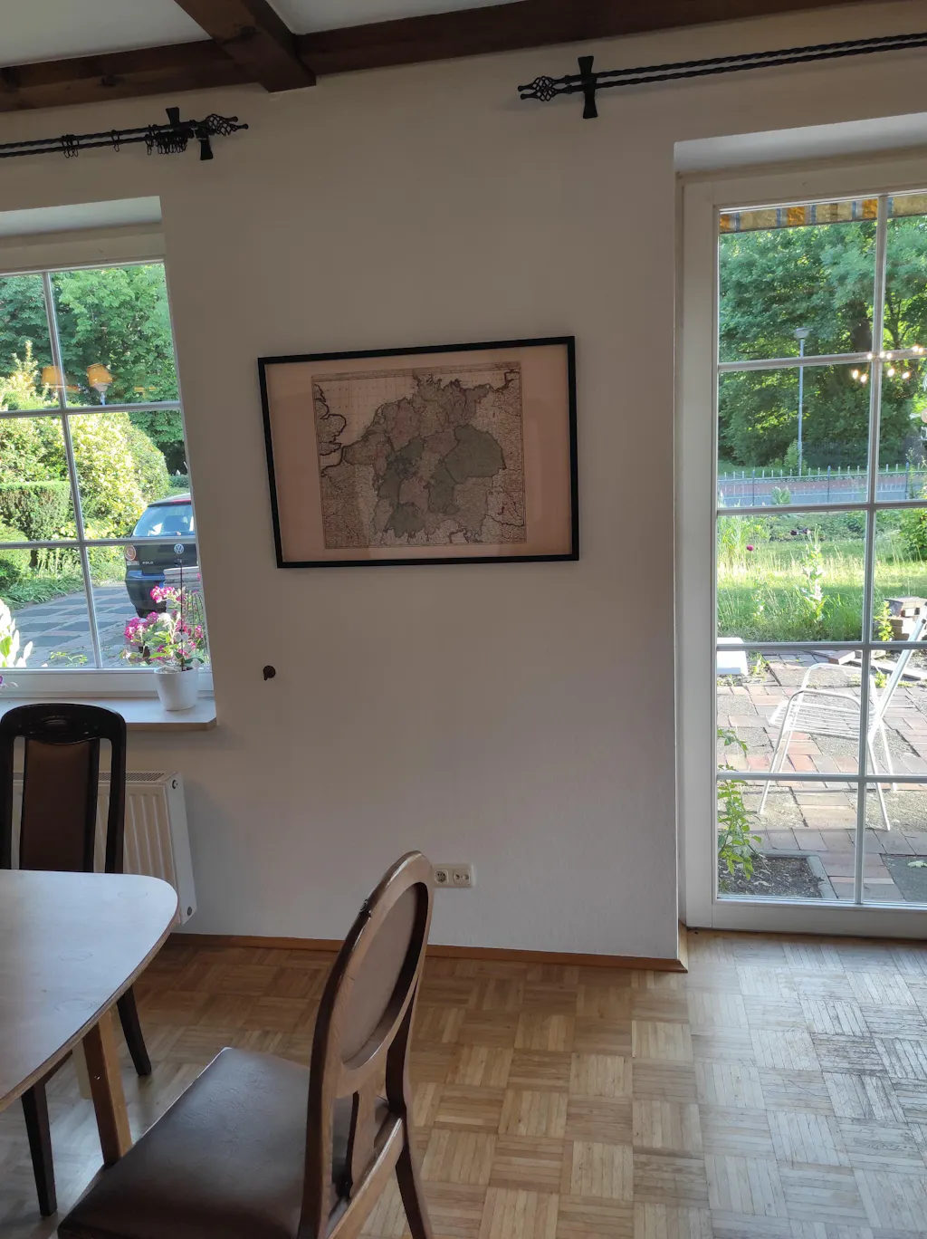
Perfect for collectors, historians, genealogists, travelers, and admirers of antique maps, this vintage Baltic map poster makes an elegant addition to offices, libraries, studies, or interiors inspired by European history and classic cartography.

This is a reproduction print of a historical map

Author:
Justus Danckerts

Date:
1696

Everything is printed by ourselves in Poland.

We use a top quality Canon printer
Canon ImagePROGRAF PRO 2600 providing:

  • 2400 x 1200 dpi
  • 12-color printing system using Lucia-PRO II inks
  • High-precision printing with 5 pl droplet size per color
  • Print head with nozzle compensation function

The print is done on Cotton Canvas (
390 g/m²) prociding a vintage map feeling.

Currently we offer black hardboard frames with polystyrene plastic front protection.

Available in sizes:

  • 91x61cm | 24x36in
  • 70x50cm | 28x20in

We work with a range of trusted logistics providers to ensure you get the best balance of cost and delivery quality, including FedEx, UPS, and DPD. We currently ship to 32 countries worldwide, including 25 countries within the European Union, as well as the United Kingdom, Switzerland, Canada, Japan, Singapore, Hong Kong and the United States.

All orders include full tracking, so you can monitor your shipment every step of the way. We also offer free shipping on all orders with a cart value above $200.

If your postal code is not supported by our standard shipping options, please contact us at contact@strategymaps.co
and we will arrange a custom shipping solution tailored to your location.

We have a 30-day return policy, which means you have 30 days after receiving your item to request a return. To be eligible for a return, your item must be in the same condition that you received it, and in its original packaging. You’ll also need the receipt or proof of purchase.

When buying within the European Union have the right to cancel or return your order within 14 days, for any reason and without a justification.

Read more about return policy here.

View Product Details

From map lovers for map lovers

Get Your Hometown Blueprint Map - Modern City Street Wall Art