Skip to content
Your cart is empty
Continue shopping
Have an account?
Log in
to checkout faster.
Shopping cart (0)
Loading...
You might like
1337 Map of Europe (Light Water)
€47,95
€47,95
/
Sold out
Roman Empire in the time of Christ
€47,95
€47,95
/
Sold out
Vintage Map of 1770 Polish-Lithuanian Commonwealth & Partitions
€47,95
€47,95
/
Sold out
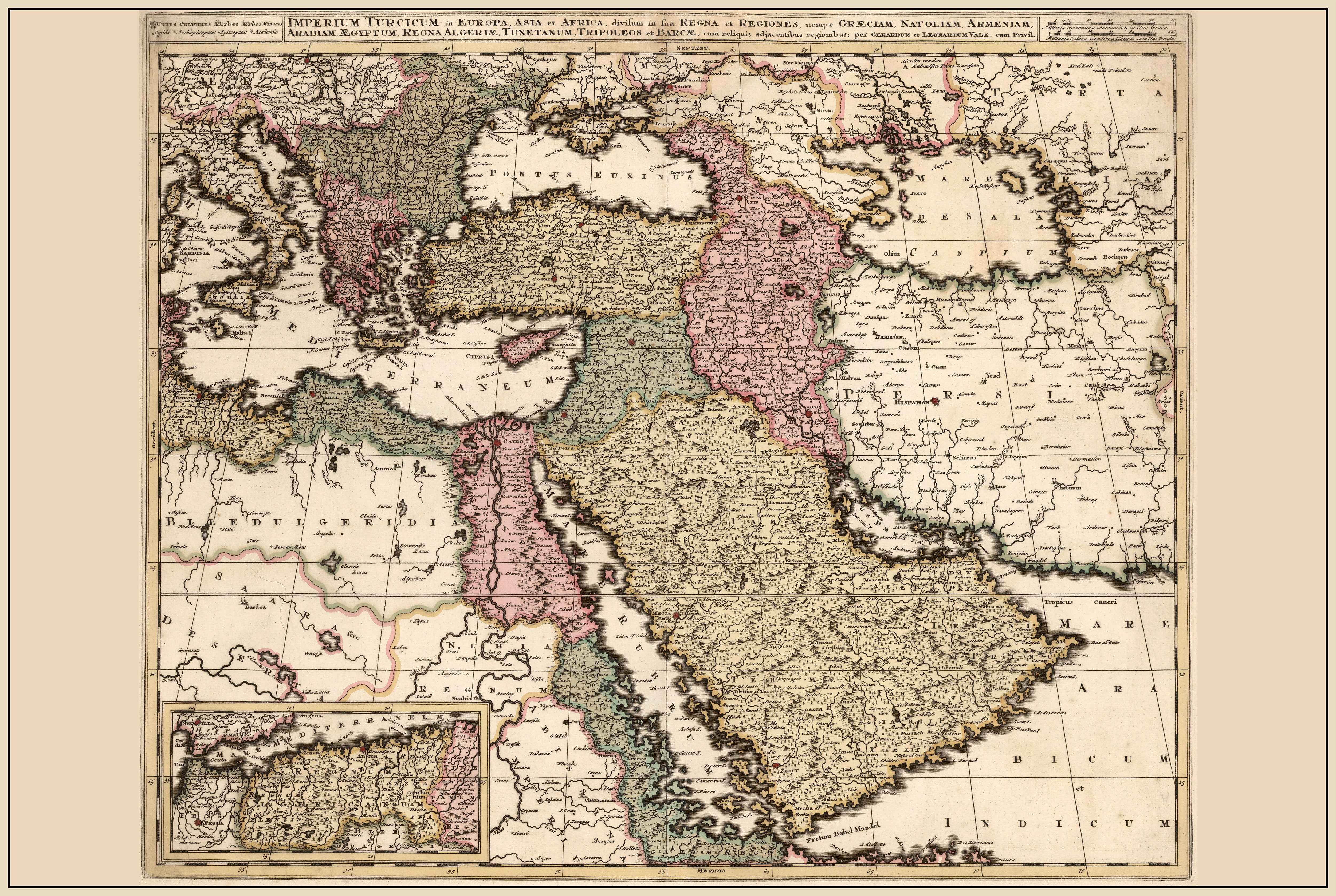
1740 Ottoman Empire – 18th Century Historical Wall Map
€47,95
€47,95
/
Sold out
FREE SHIPPING ABOVE $250
English
Français
English
France ( € )
Search
EUR € | Austria
EUR € | Belgium
EUR € | Bulgaria
CAD $ | Canada
EUR € | Croatia
CZK Kč | Czechia
DKK kr. | Denmark
EUR € | Estonia
EUR € | Finland
EUR € | France
EUR € | Germany
EUR € | Greece
HUF Ft | Hungary
EUR € | Ireland
EUR € | Italy
EUR € | Latvia
EUR € | Lithuania
EUR € | Luxembourg
EUR € | Netherlands
PLN zł | Poland
EUR € | Portugal
RON Lei | Romania
EUR € | Slovakia
EUR € | Slovenia
EUR € | Spain
SEK kr | Sweden
CHF CHF | Switzerland
GBP £ | United Kingdom
USD $ | United States
Home
All products
Collections
Returns
Contact
Home
All products
Collections
Returns
Contact
Strategy Maps
Search
Search
Europe
City
EU5
Products
Sold out
1337 map of europe (light water)
From €39,95
From €39,95
/
Sold out
Roman empire in the time of christ
From €39,95
From €39,95
/
Sold out
Vintage map of 1770 polish-lithuanian commonwealth & partitions
From €39,95
From €39,95
/
Sold out
1740 ottoman empire – 18th century historical wall map
From €39,95
From €39,95
/
Sold out
Vintage krakow map wall art - 1618 cracovia metropolis engraving print
From €39,95
From €39,95
/
Sold out
Your eu5 campaign printed
From €39,95
From €39,95
/
Sold out
Constantinople 1896 - vintage painting of the ottoman capital
From €39,95
From €39,95
/
Sold out
1847 english history game map poster - illustrated educational board with historical scenes
From €39,95
From €39,95
/
Sold out
Poland map 1938 print - ‘poloniae’ pictorial map by tadeusz lipski & eliasz kanarek | vintage world’s fair wall art
From €39,95
From €39,95
/
Sold out
Your eu4 campaign printed
From €39,95
From €39,95
/
Sold out
1337 map of europe (dark water)
From €39,95
From €39,95
/
Sold out
Europe in 1623 - political map at the start of the thirty years’ war
From €39,95
From €39,95
/
Sold out
Europe in 1743 – historical wall map from the war of the austrian succession
From €39,95
From €39,95
/
Sold out
Islamic world 945–1055 - map of the buyids, fatimids, and abbasids
From €39,95
From €39,95
/
Sold out
Istanbul blueprint map - modern city street wall art
From €39,95
From €39,95
/
Sold out
Europe 1870 - satirical cartoon map of the franco-prussian war
From €39,95
From €39,95
/
Sold out
London 1851 - illustrated map with major landmarks
From €39,95
From €39,95
/
Sold out
Paris 1778 - historical map of the french royal capital
From €39,95
From €39,95
/
Sold out
Ulm 1643 - historical map of the free imperial city
From €39,95
From €39,95
/
Sold out
Warsaw 1772 - historical map of the polish capital with major palaces
From €39,95
From €39,95
/
Sold out
Warsaw blueprint map - modern city street wall art
From €39,95
From €39,95
/
Sold out
World history map print - major battles & global conflict locations illustrated
From €39,95
From €39,95
/
Sold out
Pieter goos 1667 world map poster - with ornate illustration and atlas style
From €39,95
From €39,95
/
Sold out
Victorian era british empire map poster (1886) featuring global regions and cultural attire
From €39,95
From €39,95
/
Sold out
1652 danzig map poster - gdańsk bird’s-eye city plan with fortifications and river motława
From €39,95
From €39,95
/
Sold out
1652 riga map poster - panoramic city plan with star fortifications, harbor ships and urban layout
From €39,95
From €39,95
/
Sold out
Saigon 1902 map poster - panoramic view of ho chi minh city with river, boulevards and port activity
From €39,95
From €39,95
/
Sold out
1856 florida map poster - hand-colored county map with detailed boundaries
From €39,95
From €39,95
/
Sold out
1856 east indies cartography print - vintage map with colonial boundaries
From €39,95
From €39,95
/
Sold out
1623 bohemia map print - mercator & hondius atlas map of czech republic, colored historical wall art
From €39,95
From €39,95
/
Sold out
1623 polonia et silesia map - vintage atlas map of poland & silesia,
From €39,95
From €39,95
/
Sold out
Stockholm 1588 map print - braun & hogenberg ‘civitates orbis terrarum’
From €39,95
From €39,95
/
Collections
Bestsellers
32 items
Login
Create account
0
Home
Search: 1 result found for "eu5"
Search results
Search
Search
Europe
City
EU5
Products
Sold out
1337 map of europe (light water)
From €39,95
From €39,95
/
Sold out
Roman empire in the time of christ
From €39,95
From €39,95
/
Sold out
Vintage map of 1770 polish-lithuanian commonwealth & partitions
From €39,95
From €39,95
/
Sold out
1740 ottoman empire – 18th century historical wall map
From €39,95
From €39,95
/
Sold out
Vintage krakow map wall art - 1618 cracovia metropolis engraving print
From €39,95
From €39,95
/
Sold out
Your eu5 campaign printed
From €39,95
From €39,95
/
Sold out
Constantinople 1896 - vintage painting of the ottoman capital
From €39,95
From €39,95
/
Sold out
1847 english history game map poster - illustrated educational board with historical scenes
From €39,95
From €39,95
/
Sold out
Poland map 1938 print - ‘poloniae’ pictorial map by tadeusz lipski & eliasz kanarek | vintage world’s fair wall art
From €39,95
From €39,95
/
Sold out
Your eu4 campaign printed
From €39,95
From €39,95
/
Sold out
1337 map of europe (dark water)
From €39,95
From €39,95
/
Sold out
Europe in 1623 - political map at the start of the thirty years’ war
From €39,95
From €39,95
/
Sold out
Europe in 1743 – historical wall map from the war of the austrian succession
From €39,95
From €39,95
/
Sold out
Islamic world 945–1055 - map of the buyids, fatimids, and abbasids
From €39,95
From €39,95
/
Sold out
Istanbul blueprint map - modern city street wall art
From €39,95
From €39,95
/
Sold out
Europe 1870 - satirical cartoon map of the franco-prussian war
From €39,95
From €39,95
/
Sold out
London 1851 - illustrated map with major landmarks
From €39,95
From €39,95
/
Sold out
Paris 1778 - historical map of the french royal capital
From €39,95
From €39,95
/
Sold out
Ulm 1643 - historical map of the free imperial city
From €39,95
From €39,95
/
Sold out
Warsaw 1772 - historical map of the polish capital with major palaces
From €39,95
From €39,95
/
Sold out
Warsaw blueprint map - modern city street wall art
From €39,95
From €39,95
/
Sold out
World history map print - major battles & global conflict locations illustrated
From €39,95
From €39,95
/
Sold out
Pieter goos 1667 world map poster - with ornate illustration and atlas style
From €39,95
From €39,95
/
Sold out
Victorian era british empire map poster (1886) featuring global regions and cultural attire
From €39,95
From €39,95
/
Sold out
1652 danzig map poster - gdańsk bird’s-eye city plan with fortifications and river motława
From €39,95
From €39,95
/
Sold out
1652 riga map poster - panoramic city plan with star fortifications, harbor ships and urban layout
From €39,95
From €39,95
/
Sold out
Saigon 1902 map poster - panoramic view of ho chi minh city with river, boulevards and port activity
From €39,95
From €39,95
/
Sold out
1856 florida map poster - hand-colored county map with detailed boundaries
From €39,95
From €39,95
/
Sold out
1856 east indies cartography print - vintage map with colonial boundaries
From €39,95
From €39,95
/
Sold out
1623 bohemia map print - mercator & hondius atlas map of czech republic, colored historical wall art
From €39,95
From €39,95
/
Sold out
1623 polonia et silesia map - vintage atlas map of poland & silesia,
From €39,95
From €39,95
/
Sold out
Stockholm 1588 map print - braun & hogenberg ‘civitates orbis terrarum’
From €39,95
From €39,95
/
Collections
Bestsellers
32 items
Products
% off
Your EU5 Campaign Printed
From €39,95
From €39,95
/
Select options
Choosing a selection results in a full page refresh.
Opens in a new window.