




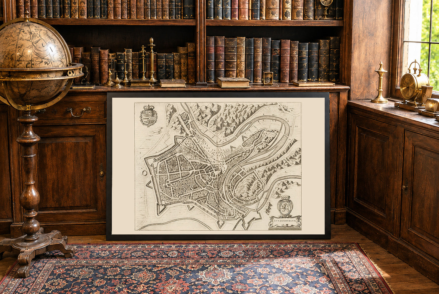
Esta imagen es un mapa histórico titulado "Lutzenburgum," creado por Joan Blaeu y Willem Janszoon Blaeu en 1652. Está incluido en el segundo volumen del atlas de ciudades de Blaeu, "Toonneel der Steeden van s'Konings Nederlanden, met hare Beschryvingen" (Teatro de las Ciudades de los Países Bajos del Rey, con sus Descripciones). El mapa es un grabado detallado en vista de pájaro de la ciudad de Luxemburgo. Presenta representaciones intrincadas del diseño urbano, incluyendo calles, edificios y fortificaciones. El estilo es característico de la tradición cartográfica holandesa del siglo XVII, combinando precisión con adornos artísticos. Elementos decorativos como escudos de armas y cartuchos realzan su atractivo visual.




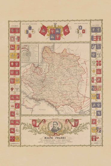
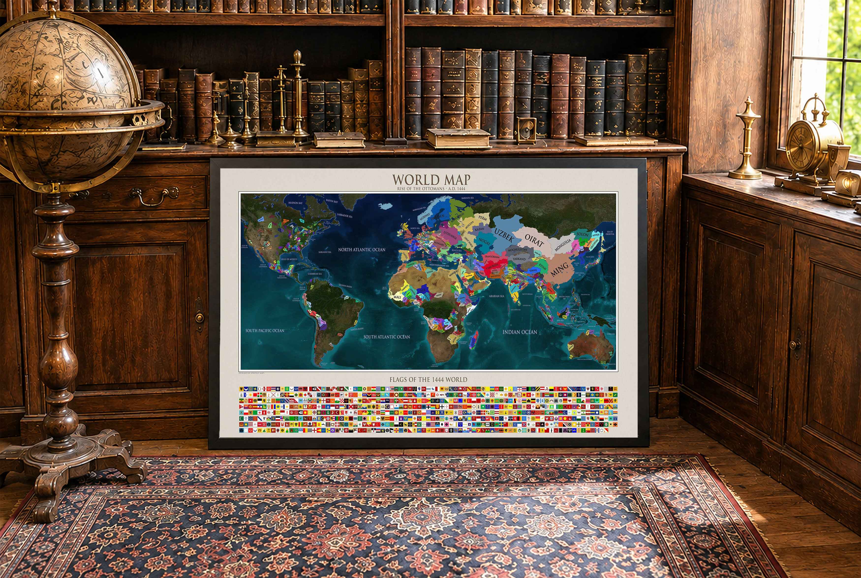

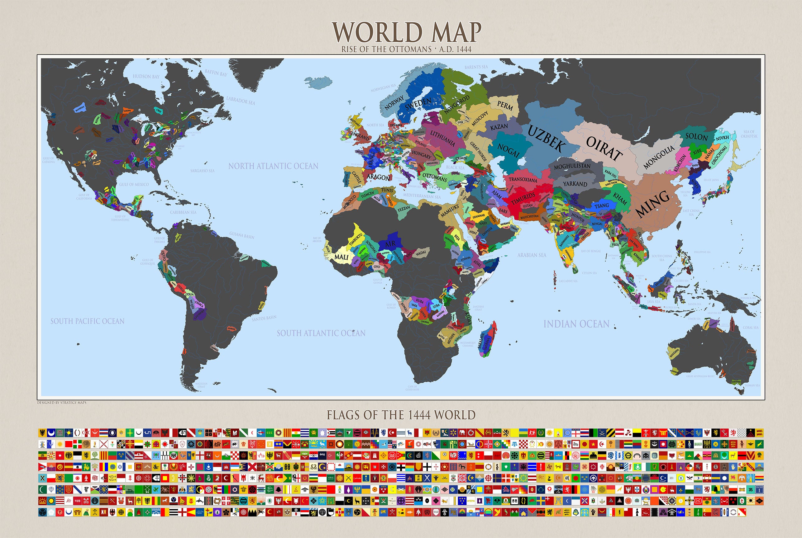
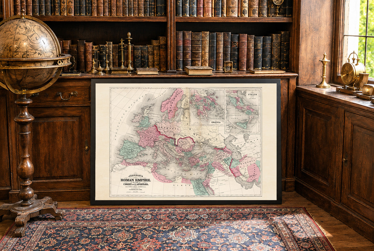
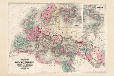
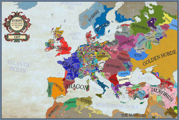
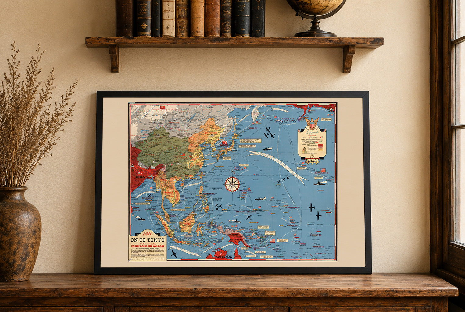
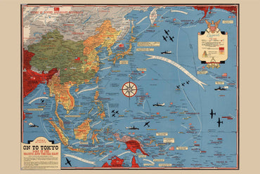
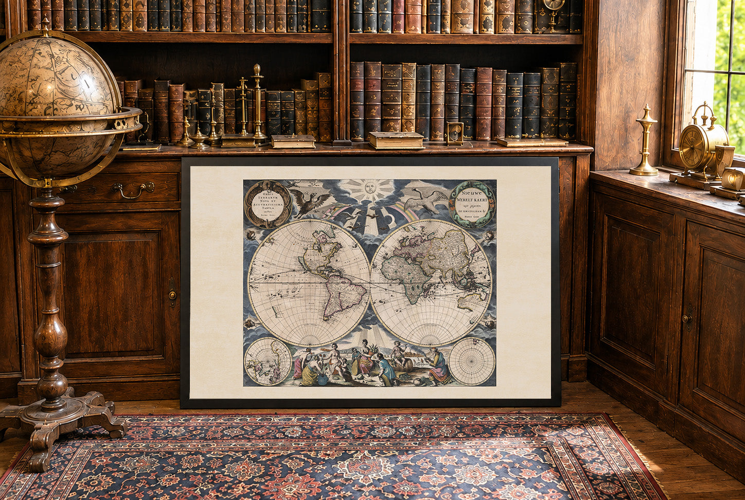
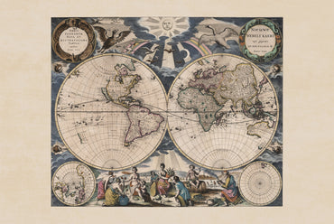
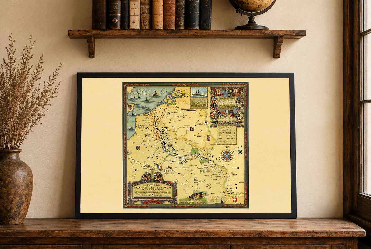
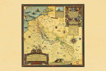
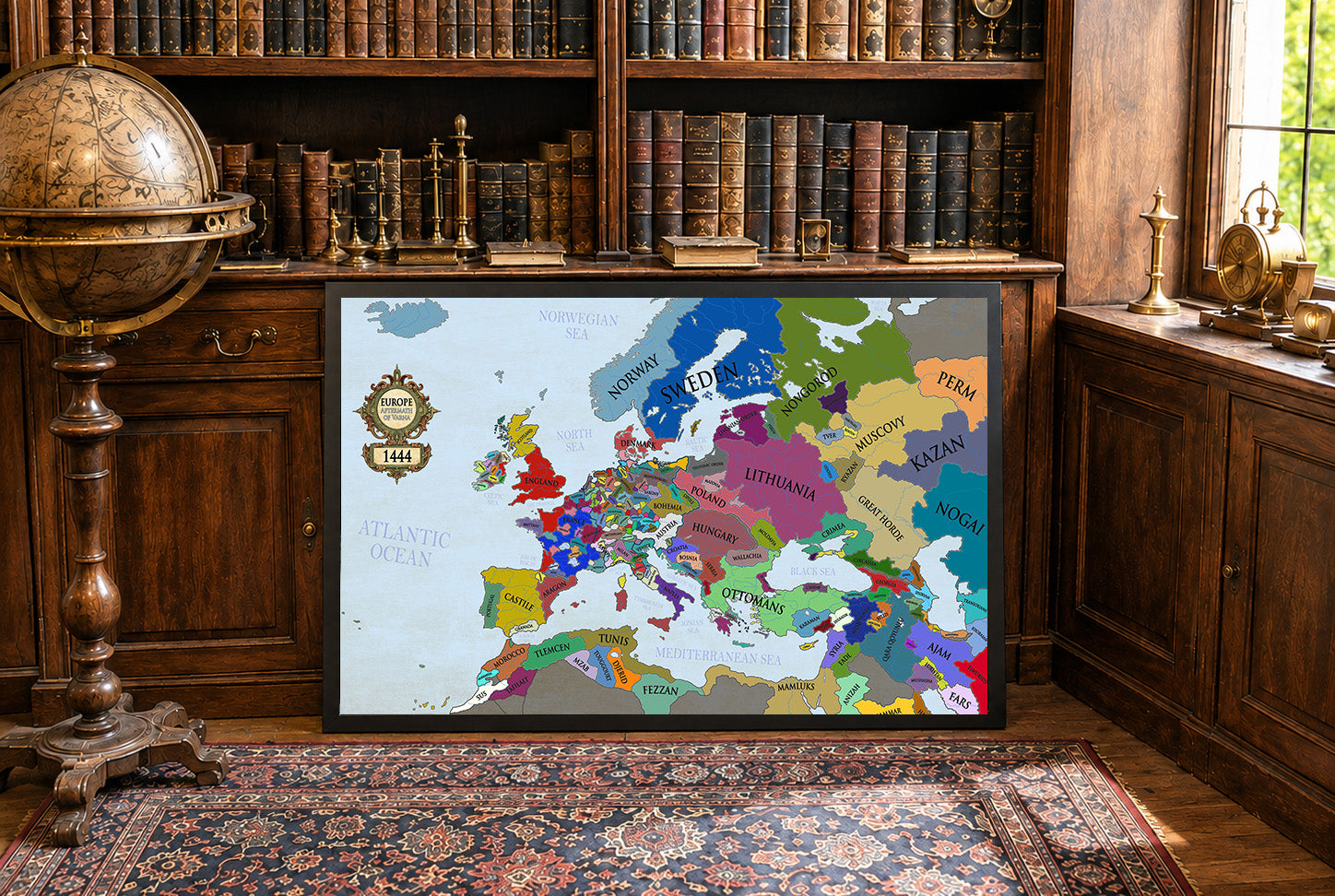
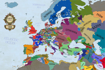
Maps came in a very well cushioned package with no damage occurring during transit. The color on the maps is nicely saturated and the maps look great on the wall.
Great quality, great packaging, great delivery! Highly recommend all maps!
Great material and colour saturation and means I can choose a country to play before turning on my PC :P
Map arrived in perfect condition and quality for reading cities, rivers, mountains and regions. Incredibly helpful in sourcing the map I wanted and adding it to the store.
Rotterdam is always 5 stars.