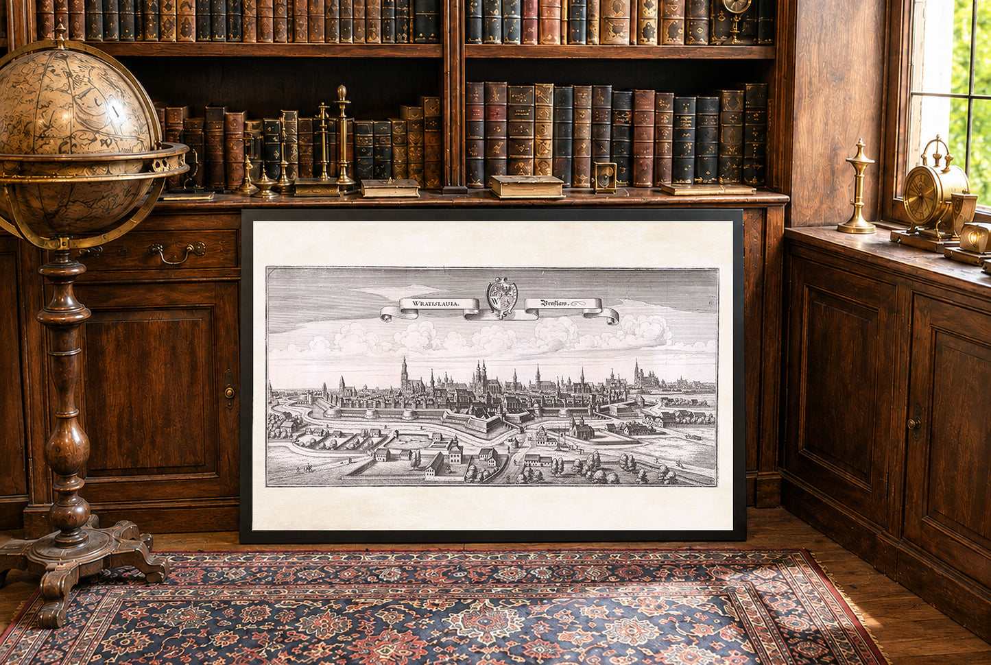
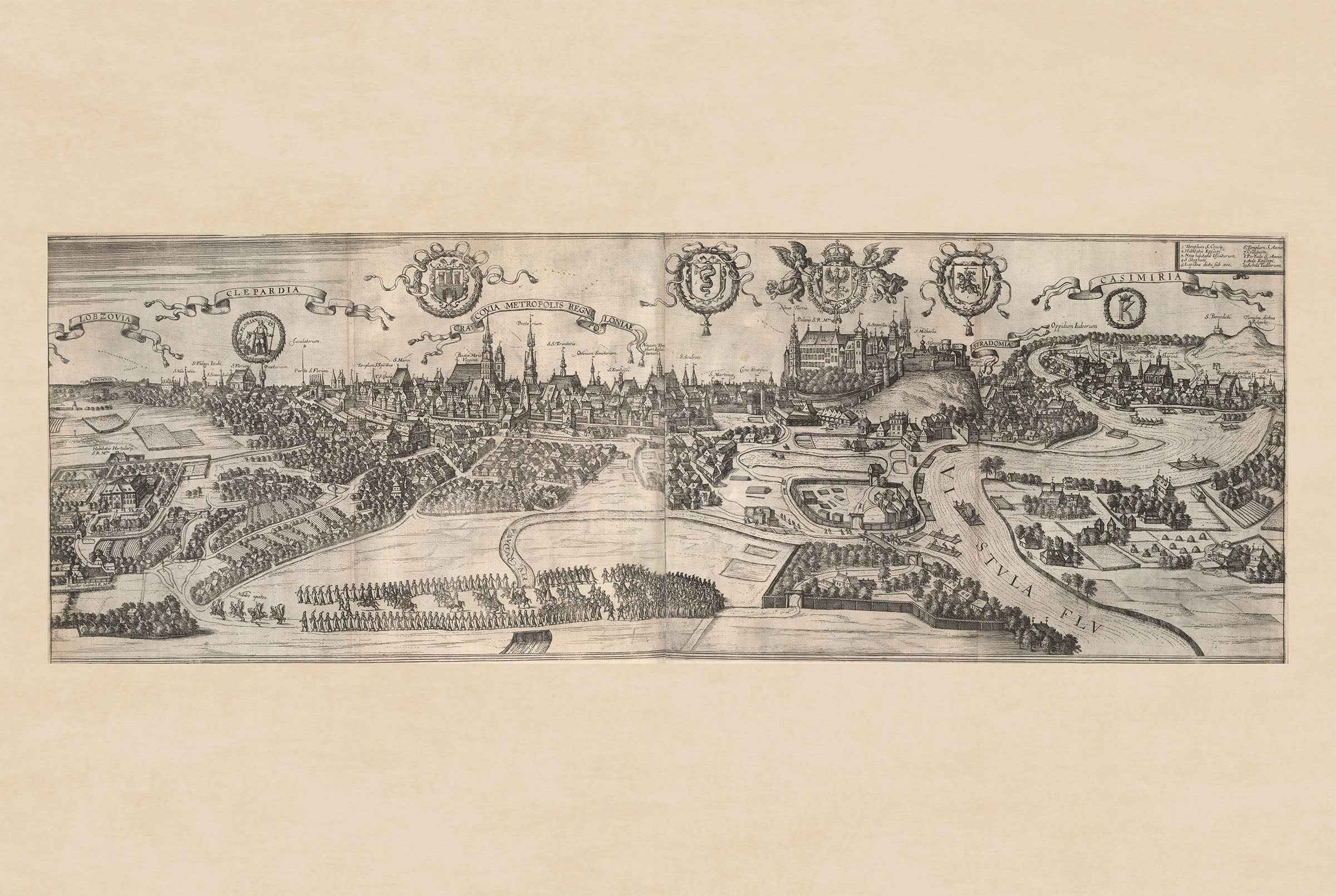
The image is an engraving titled "Wratislauia. Breslaw," created by Matthaeus Merian in collaboration with Martin Zeiller, dated 1650. This work is part of "Topographia Bohemiæ," a volume from the "Topographia Germaniae" series, published by Matthaeus Merian. The series provides detailed depictions of regions in the 17th century, focusing on German-speaking areas and their surroundings. The engraving depicts a panoramic view of the city of Wroclaw (Breslau) in Poland. The city is shown surrounded by fortifications, a common feature in urban landscapes of that era, highlighting its strategic importance. The architecture within the city walls includes notable structures such as churches with tall spires, indicating the significance of religious institutions at the time.
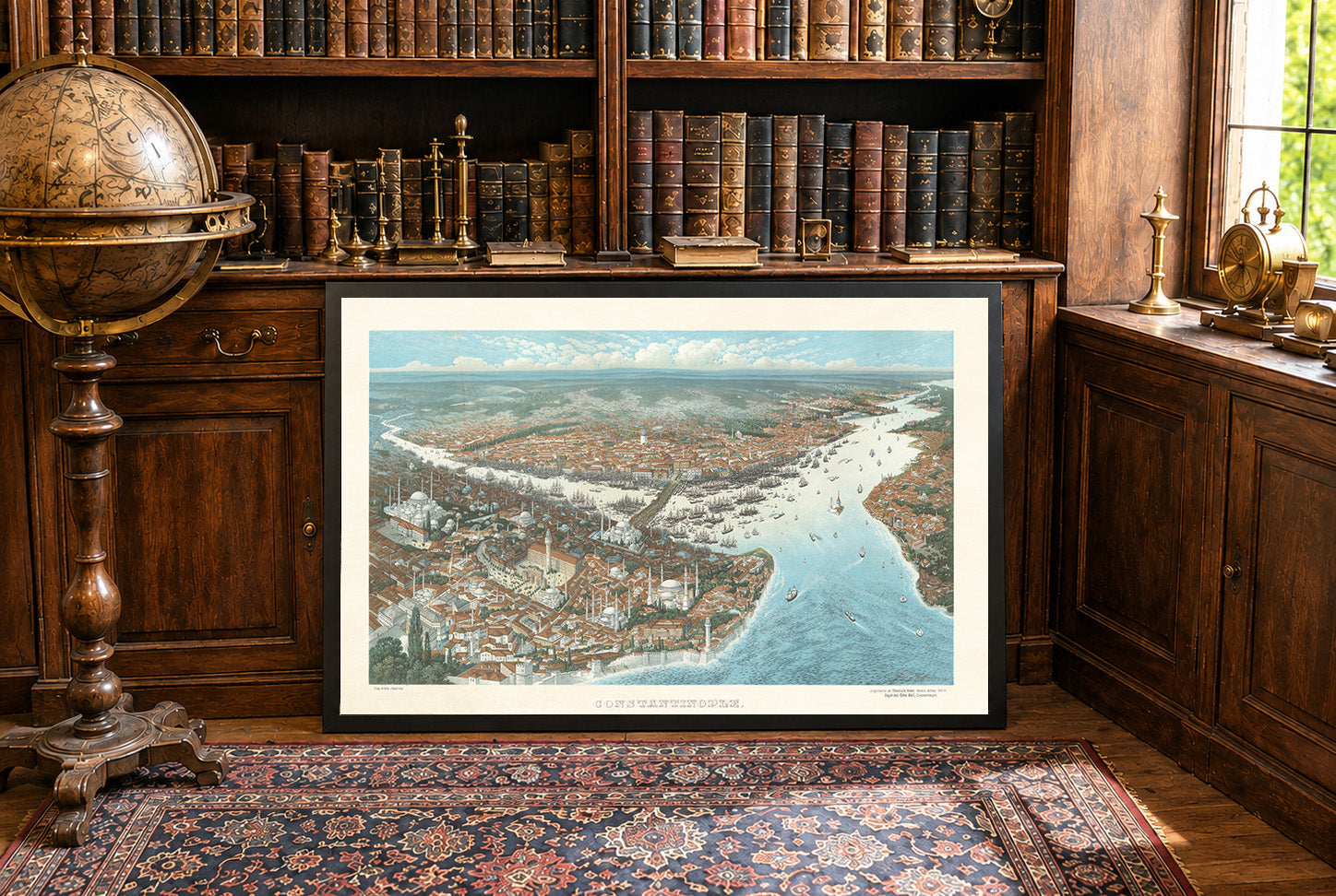
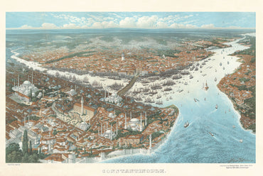
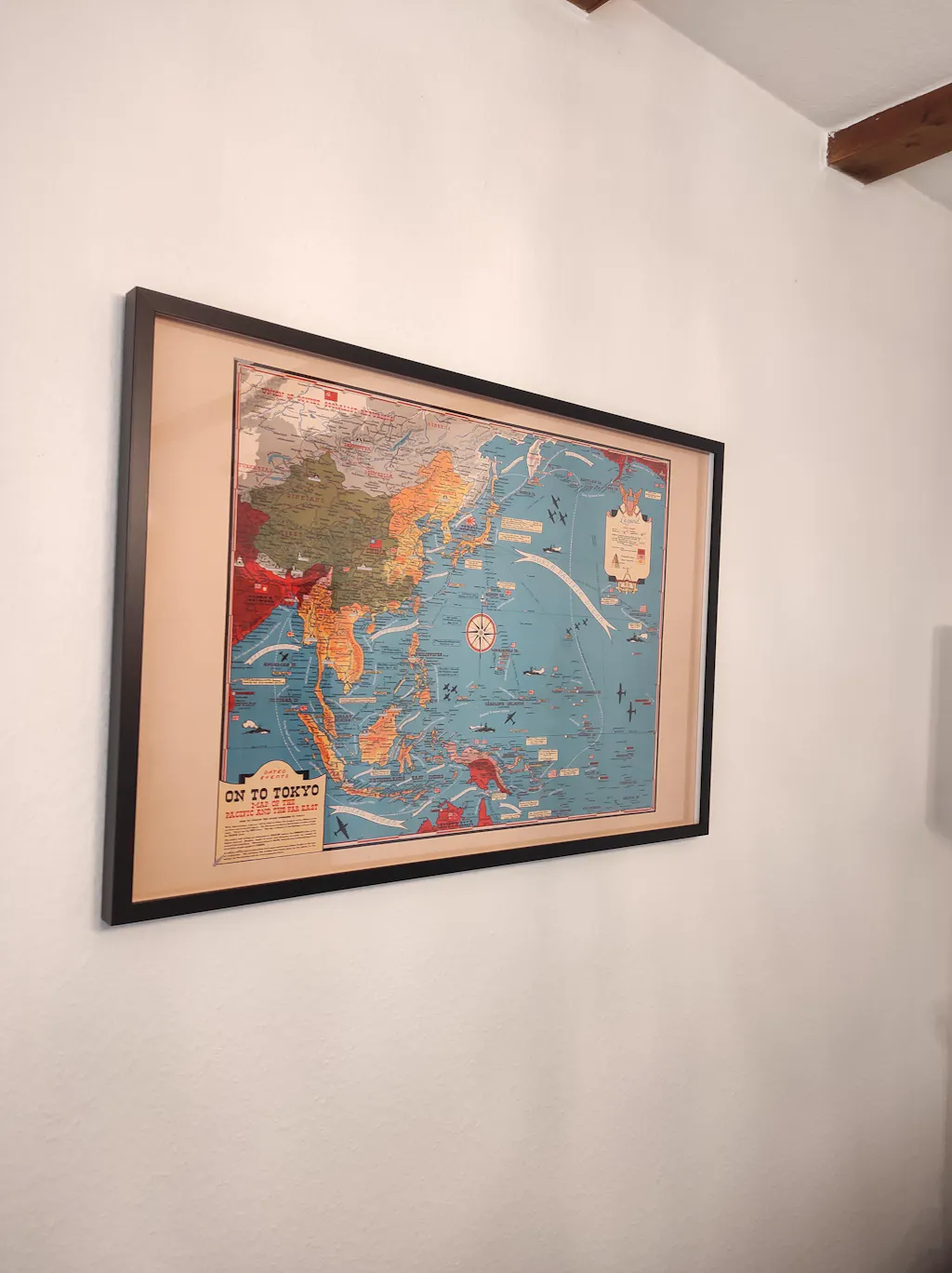
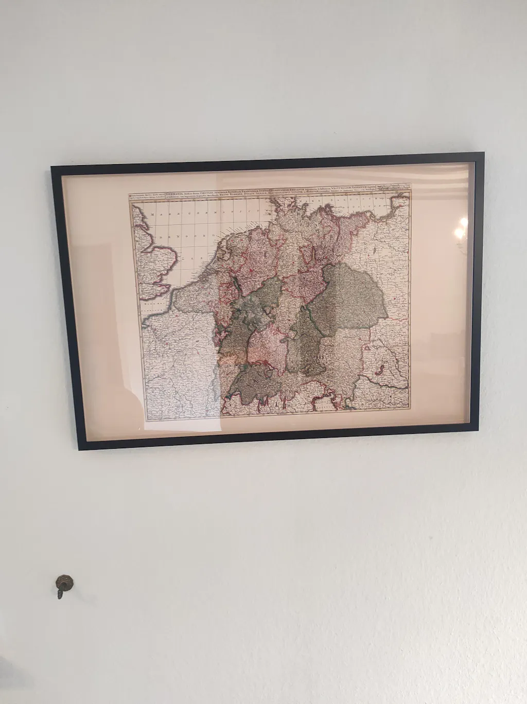
This is a reproduction print of a historical map