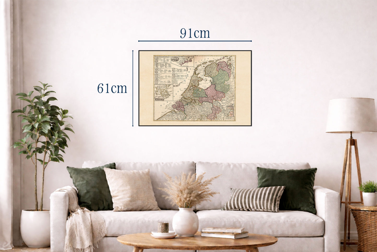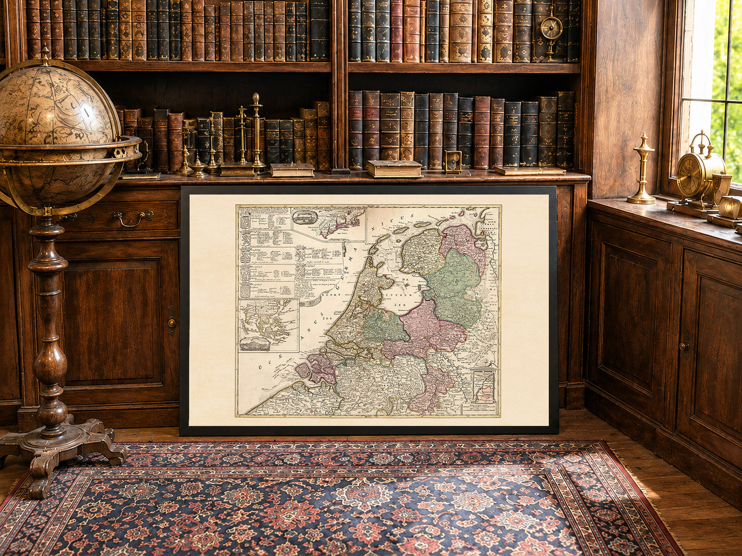



In 1740, the Dutch Republic was a federal republic composed of seven provinces governed by provincial estates and urban regent elites. Though still wealthy from global commerce centered on cities like Amsterdam, its political and military influence in Europe had declined compared with the previous century.
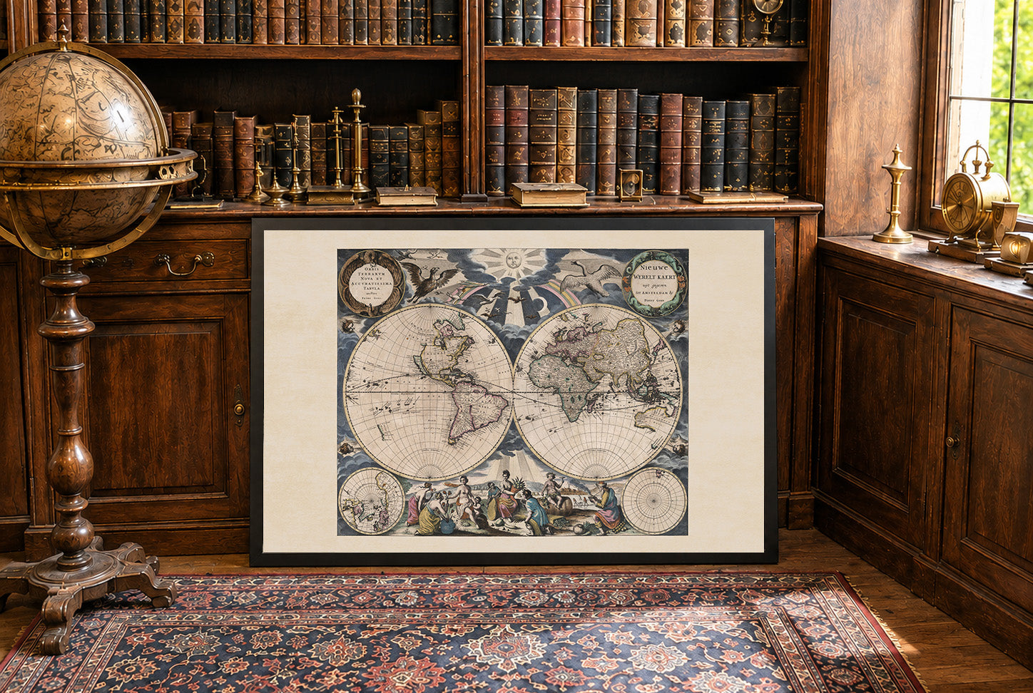
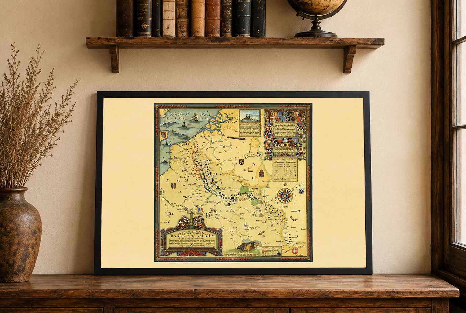
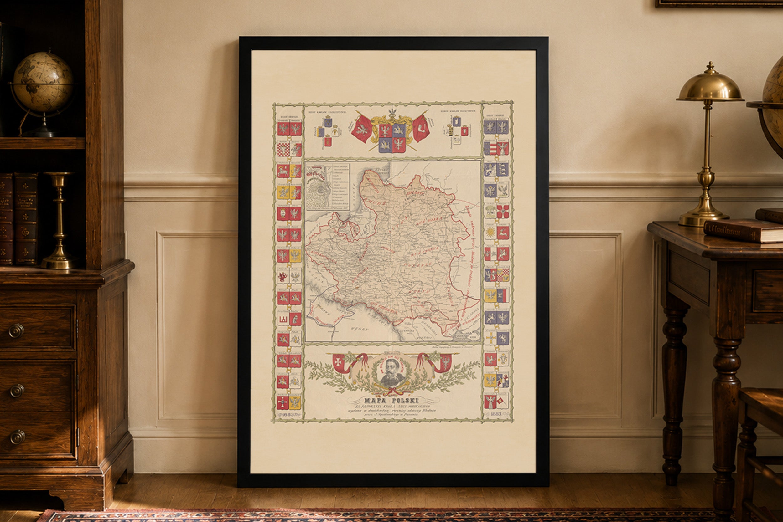
Engraved hand colored in outline map with cartouches and inset of the insignia of all the provinces. Shows administrative boundaries, cities, towns, roads. mountains, canals and rivers.
This is a reproduction print of a historical map