


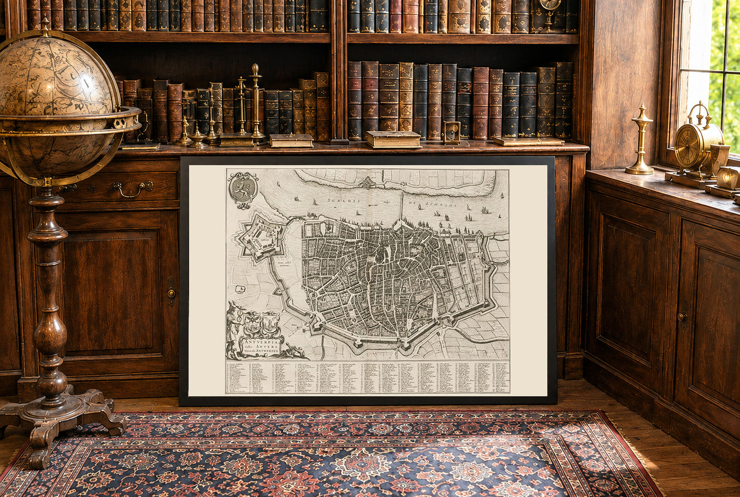
This work is a detailed city map titled "Antuerpia; Gallis Anvers:. Vernacule Antwerpen," created by Joan Blaeu and Willem Janszoon Blaeu in 1652.. The map is a depiction of Antwerp, Belgium, and is included in Volume Two of Blaeu’s townbooks of the Netherlands. The map is a finely detailed engraved depiction of Antwerp, showcasing the city’s layout during the mid-17th century. It combines both artistic and cartographic elements, characteristic of Blaeu’s work. The map is presented in black and white, with intricate details of streets, buildings, and fortifications.




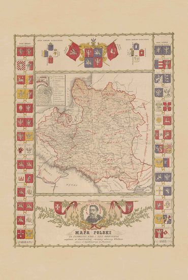
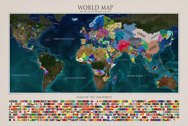
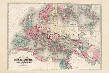
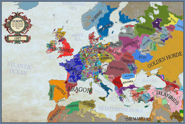
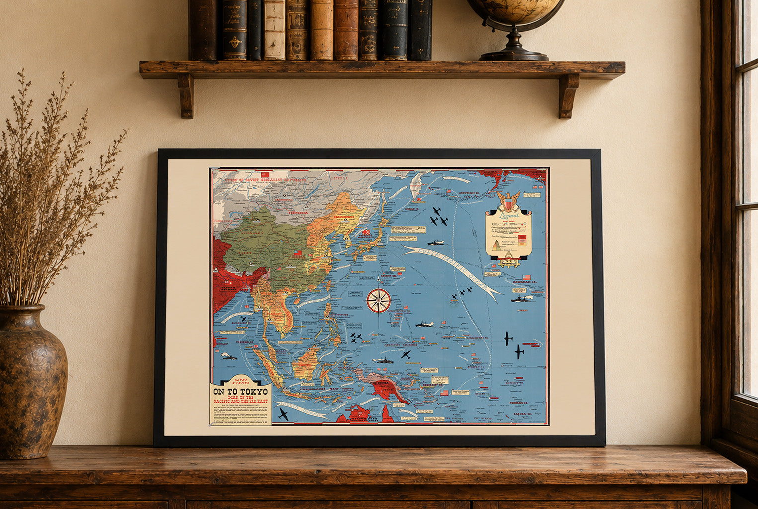
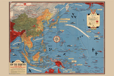
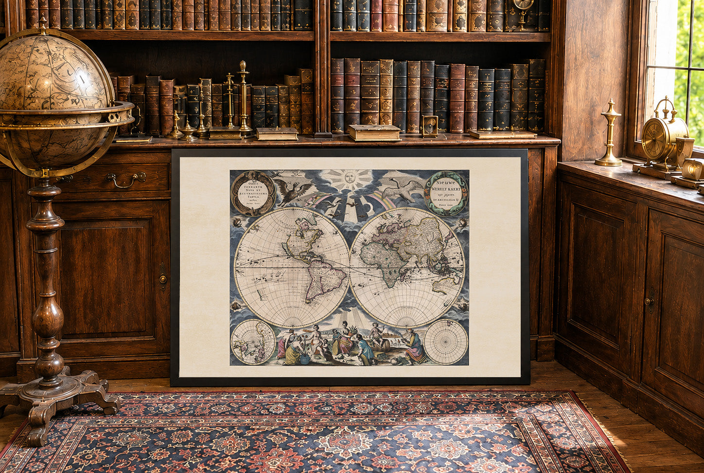
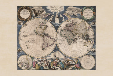
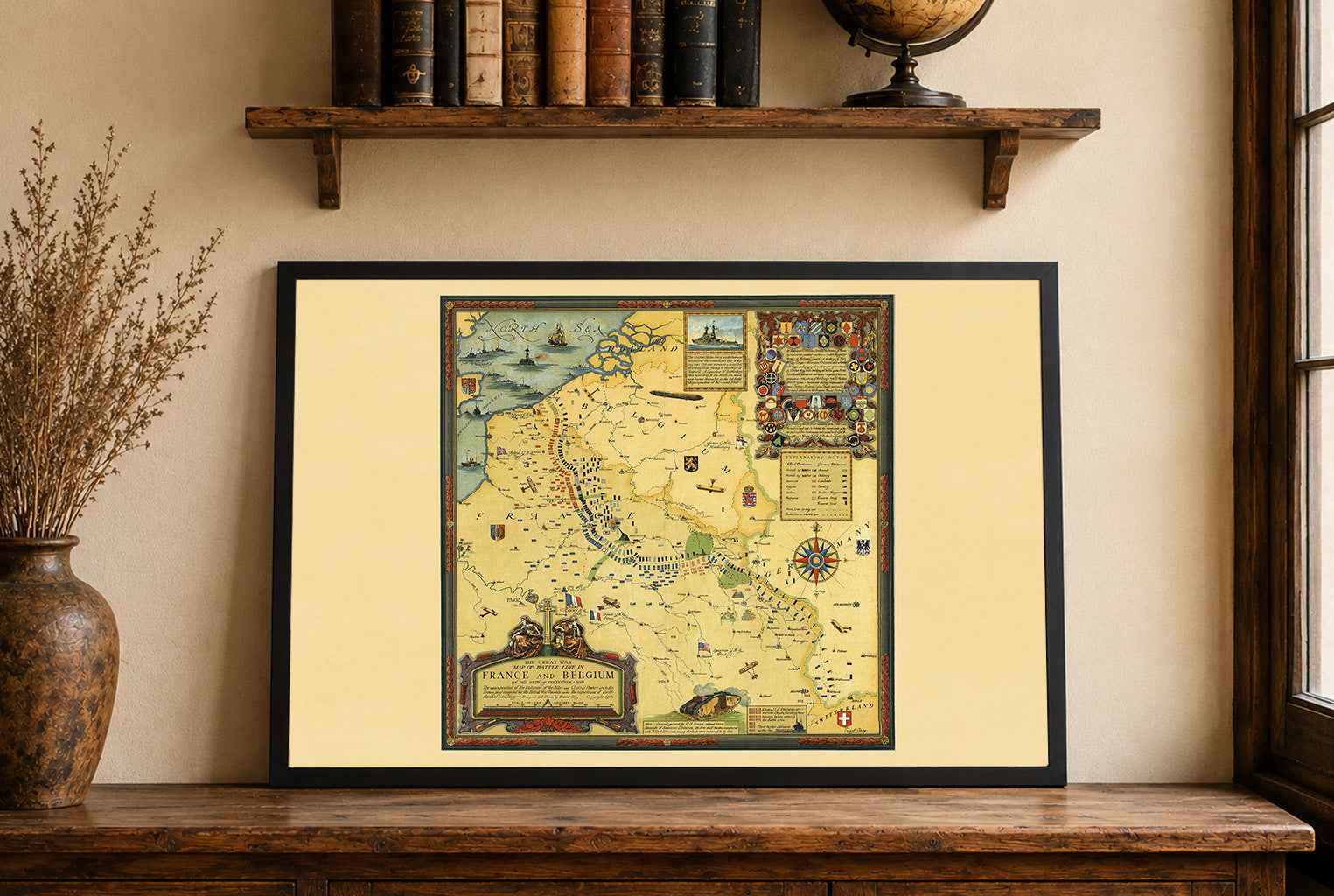
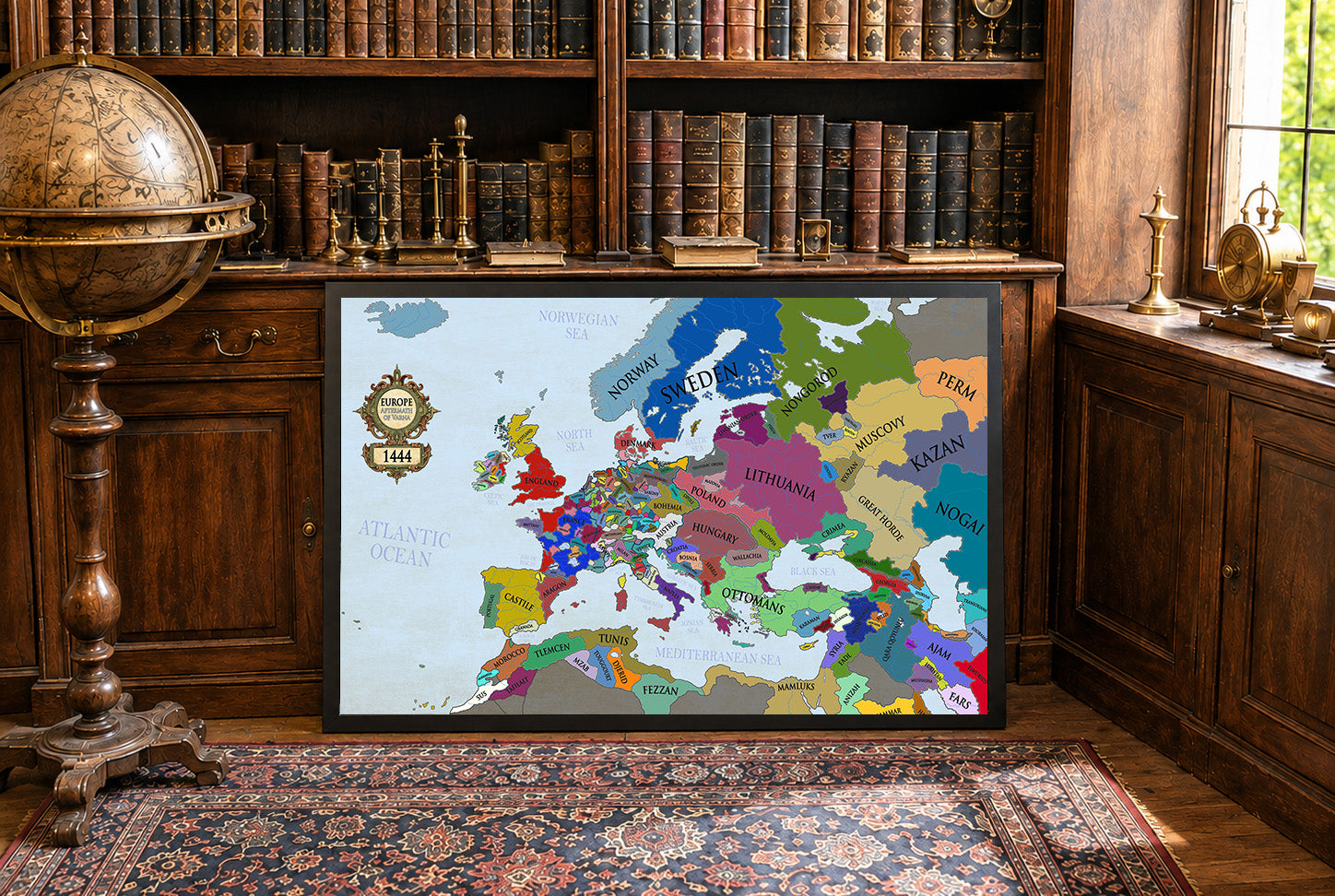
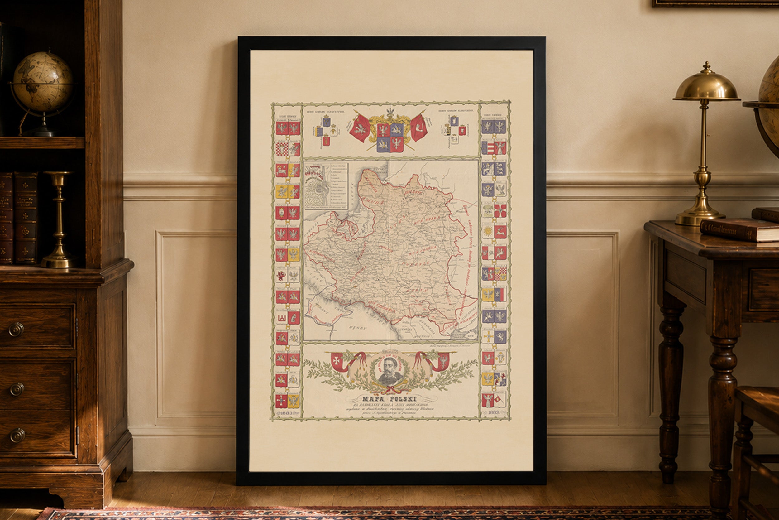
Lovely map and a great feal to it too. Very happy to see historical polish maps available as they're quite uncommon. Only critique would be I'd like to see a PLC map on offer that has clear borders (maybe with the Voivodeships included?) or maybe some Aztec empire maps in the future. Great product regardless, very happy.
Beautiful, I highly recommend it
Easy deal and quick delivery.
Great quality of the fabric and the print.
I like the small touches, like hand written 'thank you', or the packaging with string. It makes a difference when you have it in you hand.
Incredibly high quality print. Did not get the frame so I can’t speak to that. Got the larger of the two sizes and am in love with it. Printed on a material that feels like a soft canvas.
For the cost and the quality alone, I would highly recommend anyone on the fence to buy one. You will not be disappointed.
Jestem w pełni zadowolony z zakupu tej mapy. Na ścianie prezentuje się dumnie i pięknie. Do jakości samego wyrobu nie mam żadnych zastrzeżeń. Co do transportu, przebiegł szybko i sprawnie, bez żadnych zarzutów. W przyszłości będę na pewno planował jeszcze coś dodać do swojej kolekcji z tego sklepu. Serdecznie polecam!