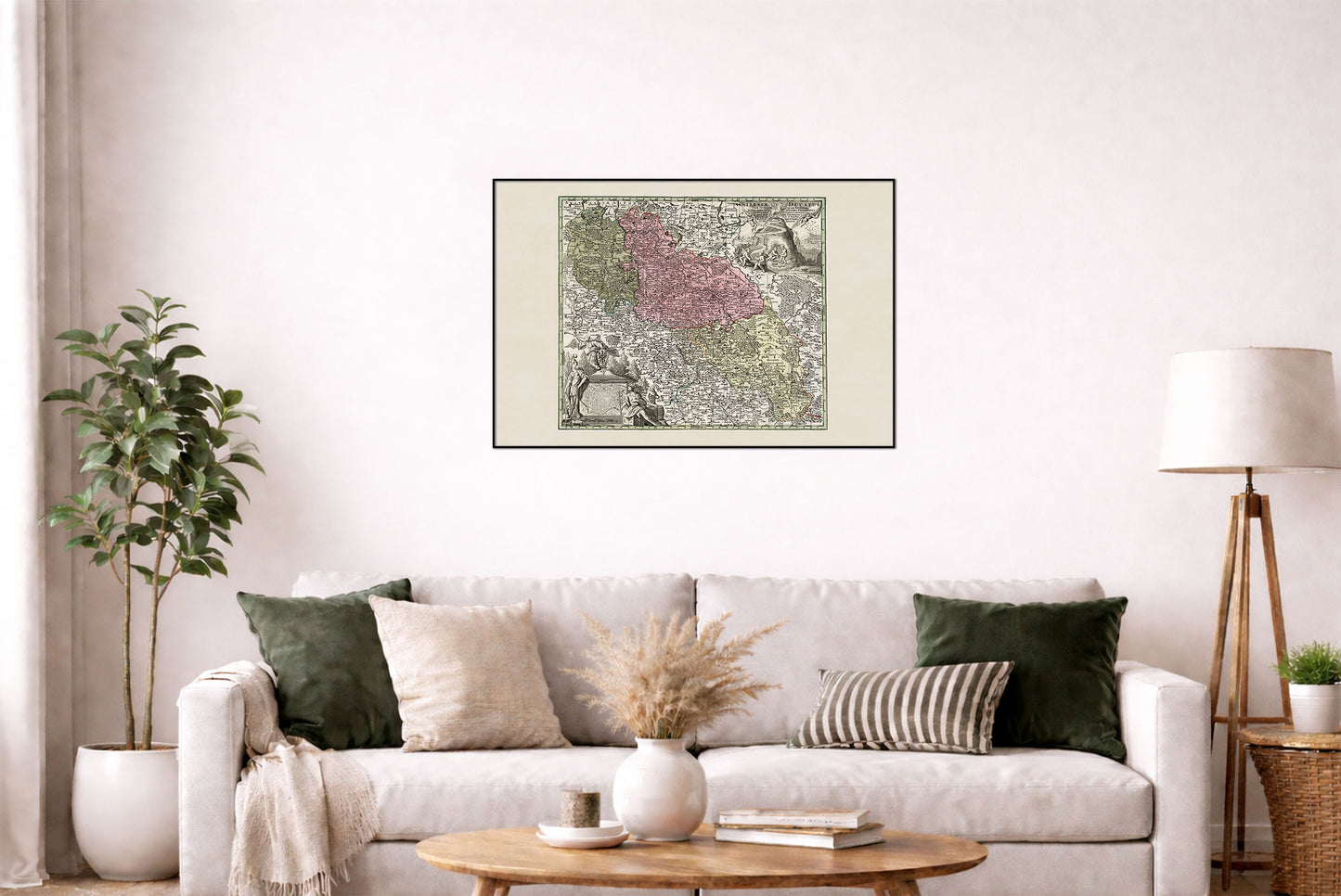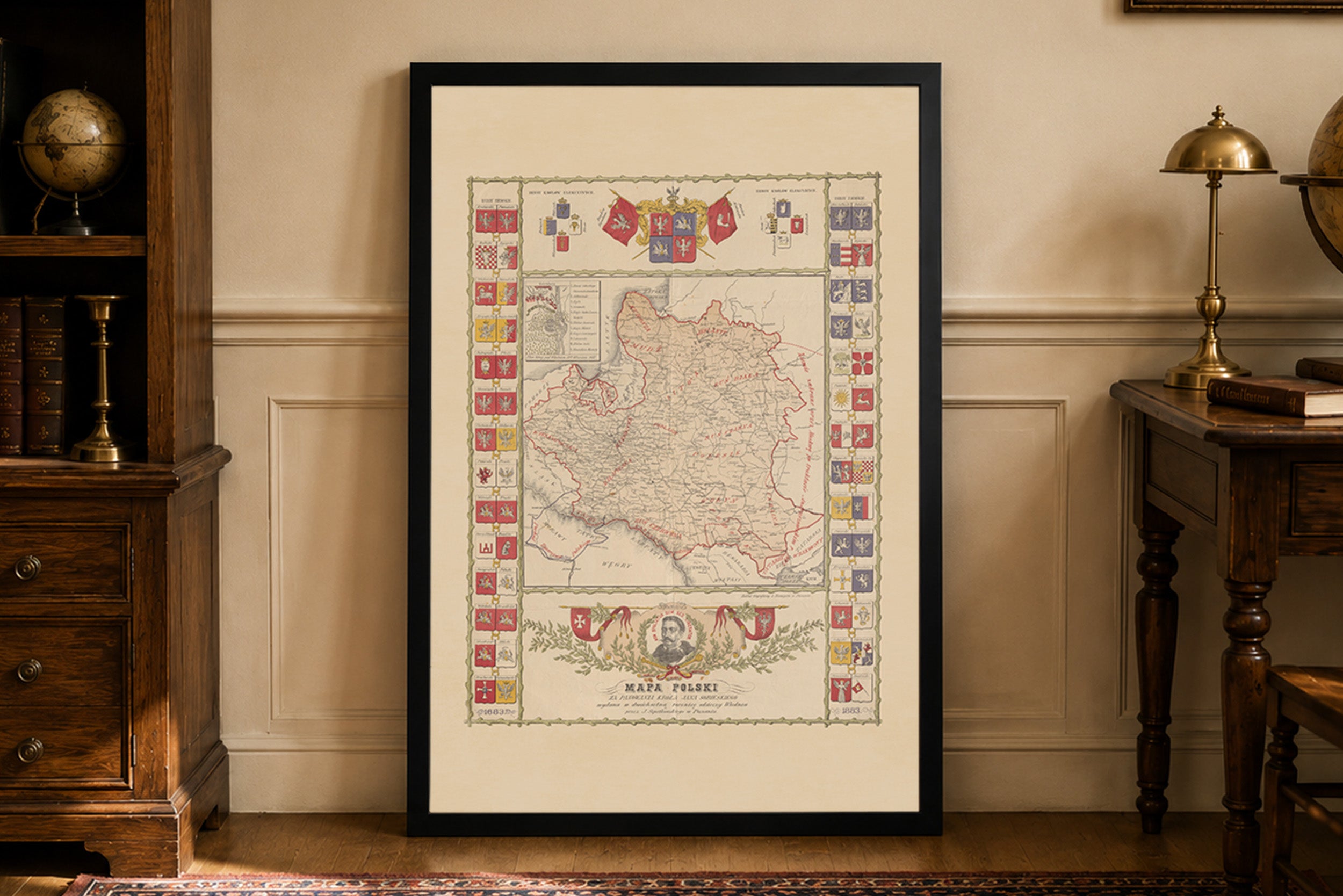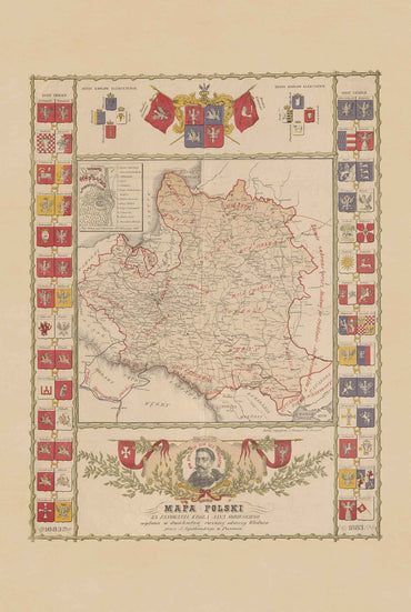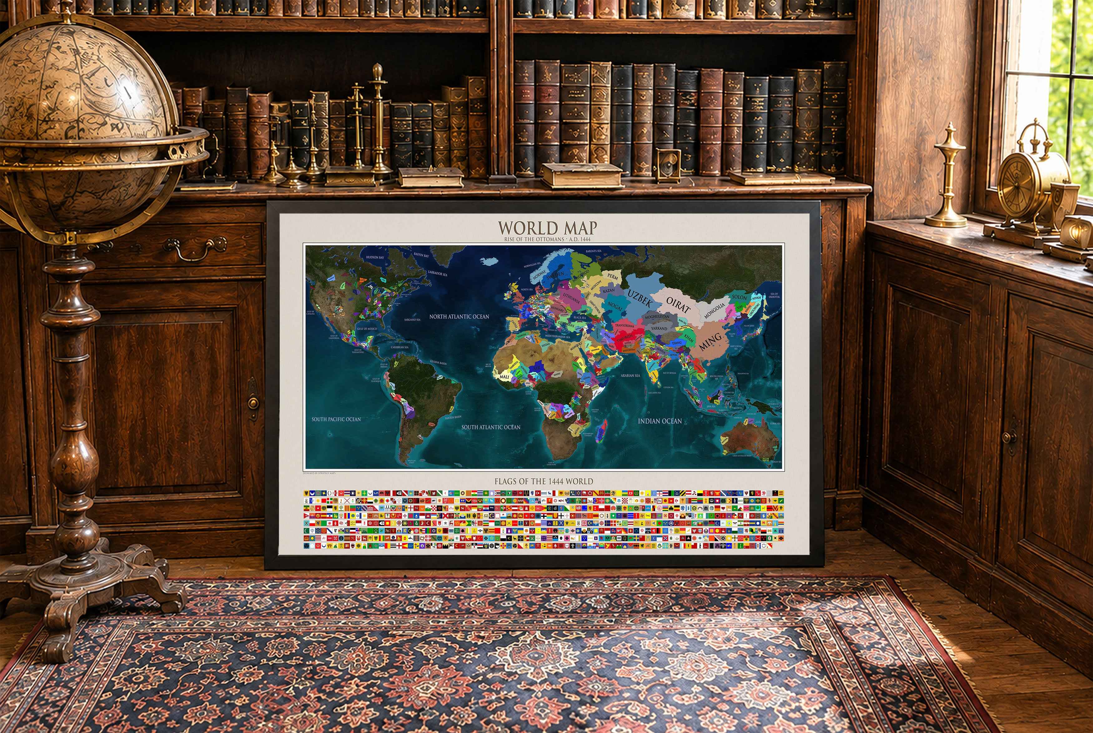


Explore the historical geography of Silesia with this beautifully detailed 18th-century map poster by Matthaeus Seutter, created around 1740. Titled Silesiae Ducatus Tam Superior Quam Inferior, the map depicts both Upper and Lower Silesia, with carefully illustrated towns, rivers, mountains, forests, and historical territorial boundaries.
Published shortly before the Silesian Wars, when Silesia was still under Habsburg rule, the map captures the region at an important moment in Central European history. Distinctive colors separate historical territories, while the ornate cartouche features classical figures and heraldic elements characteristic of decorative 18th-century cartography.
A striking piece of historical wall art for history lovers, map collectors, and anyone interested in Poland, Silesia, Prussia, or Central European history. Printed as a high-quality poster, it brings the intricate beauty of early modern cartography into your home, office, library, or study.
This is a reproduction print of a historical map
Author: Seutter, Matthaeus, 1678-1756
Year: 1740
Source: David Rumsey Map Collection, David Rumsey Map Center, Stanford Libraries